Top Architecture Courses With Industry Experts at PAACADEMY!
Home
disaster response efforts
disaster response efforts
Architecture NewsArtificial Intelligence  Serra Utkum Ikiz2 Mins read
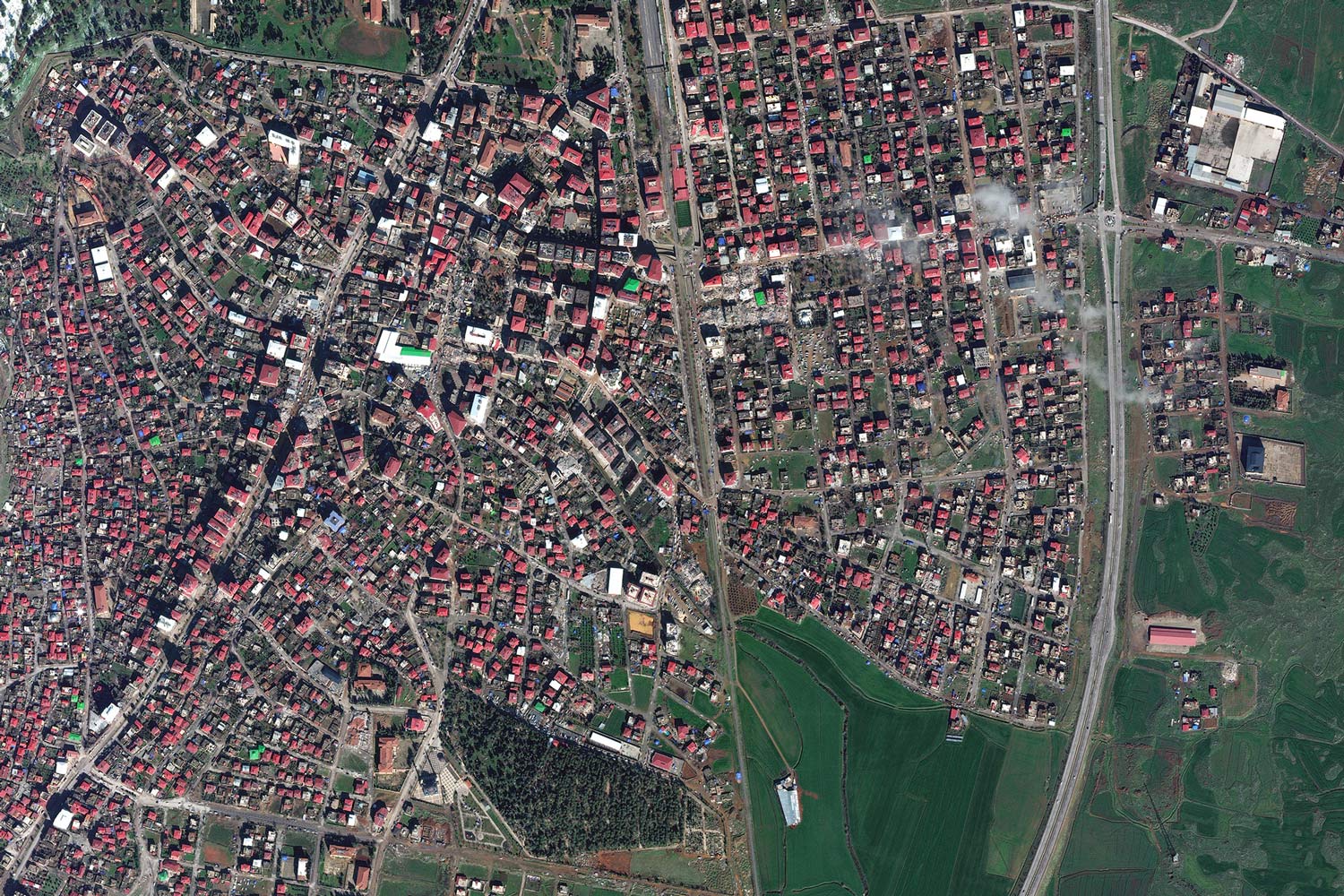
How AI and satellite imagery is helping disaster response efforts?
Machine learning is being used by humanitarian organizations in Turkiye and Syria to quickly assess earthquake damage and plan rescue attempts. So, how...


