

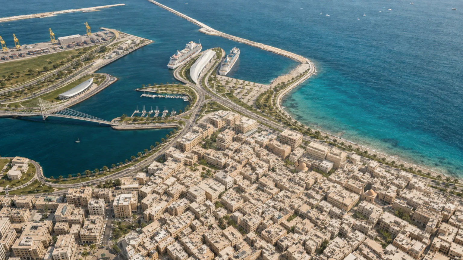


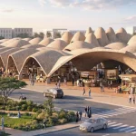
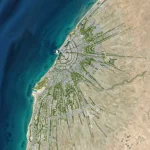
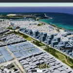
Benghazi has always faced the sea. Its historic center grew around the port, and the relationship with the Mediterranean remains central to how the city understands itself. In recent years, that same city has also become a place of reconstruction, new investment, and spreading neighborhoods. Now, a consortium led by Zaha Hadid Architects, together with A&O TEC, Prior + Partners, Homa, Buro Happold, Systematica, and Fichtner, has put forward a carefully structured proposal: the Benghazi 2050 Next Generation City Plan.
The plan is not a catalog of finished buildings. It is a pair of working tools. One is a Vision and Spatial Strategy that reads the city’s existing character. The other is a Digital Planning Hub that maps present conditions so future decisions can be tested against evidence.
Reading the city first
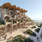
The Vision and Spatial Strategy begins with what is already there. The team studied the historic center, the shoreline, patterns of collective memory, and the way the city has expanded. From that reading, they shaped an adaptable framework organized around three clear ideas: connection rather than fragmentation, restoration rather than demolition, and growth that keeps natural systems within the urban logic.
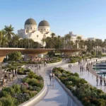
Public transport corridors and pedestrian routes would link the old town and waterfront to residential districts and new metropolitan areas. Employment and knowledge zones are identified as places where future activity can gather without erasing the existing fabric. Nature is treated as infrastructure. Landscape zones are woven through the plan to support water management and ecological diversity, so expansion does not simply push environmental systems to the edge.
The framework is deliberately open. It is meant to coordinate individual projects and investments across decades, not to fix every detail in advance. In a city still recovering and growing, that flexibility is practical. Different actors can move in a shared direction without waiting for one complete design to be finished.
A shared digital foundation
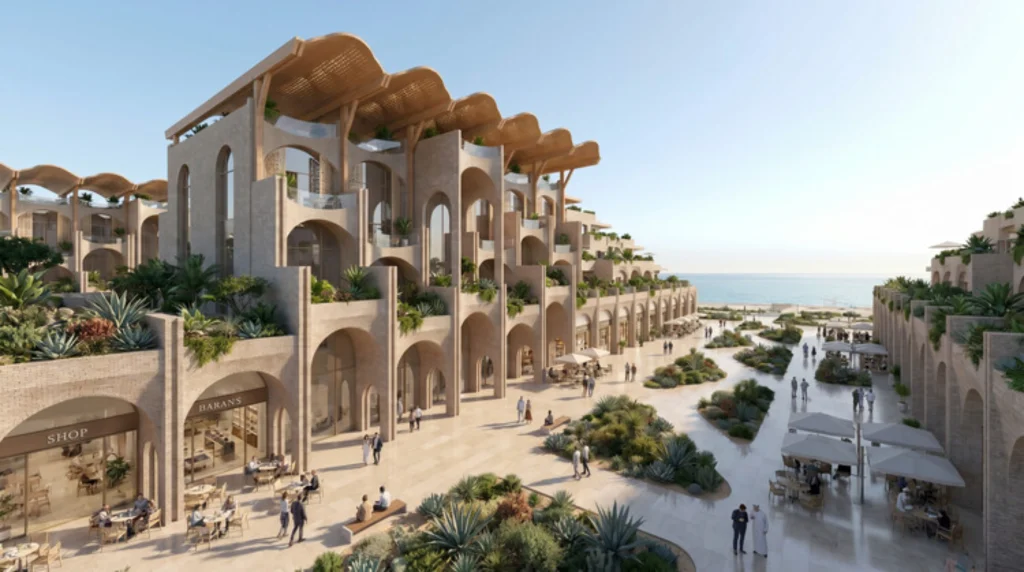
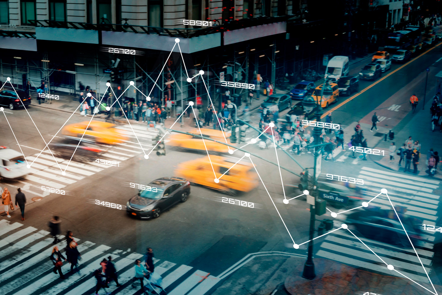
At the center of the proposal sits the Benghazi 2050 Digital Planning Hub. This is an evidence-based spatial model that gathers data on the city’s social patterns, natural systems, and built environment. The hub is designed as a shared interface. Planners, officials, investors, and community representatives can place new proposals within the wider urban context rather than viewing them in isolation.
In practice, the Digital Planning Hub is conceived as the starting point for a living digital twin. As new information arrives (infrastructure conditions, environmental measurements, demographic shifts), the model can be updated.
Future projects can be examined for their effects on mobility, water, heritage, and growth patterns before they are built. The intention is to move planning from static drawings toward a continuous, data-informed conversation about the city’s direction.
Computational tools and adaptable rules
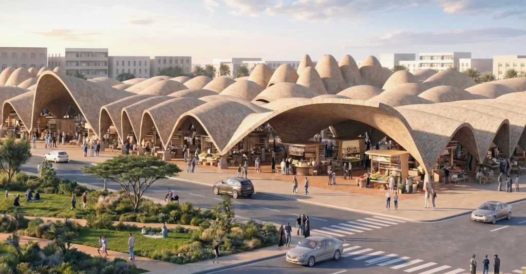
Large urban strategies increasingly depend on computational methods to handle complexity. The Digital Planning Hub is itself a computational instrument. Datasets are organized so that relationships between land use, movement, ecology and heritage can be queried and visualized. When a new residential extension or transport corridor is proposed, its impacts can be reviewed across several layers at once.
Parametric thinking appears in the framework’s structure. Instead of locking every geometry, the strategy sets relationships and rules: how public routes should connect centers, how nature zones should support water systems, how density might increase near transport without overwhelming the historic core. These relationships can be adjusted as conditions change. The framework behaves more like a set of generative constraints than a finished drawing.
For a city the size of Benghazi, this approach has clear value. It keeps the plan relevant as new data arrives and as economic and political conditions evolve. It also creates a common language between the different technical fields (transport, environment, heritage, economics) that must work together over a twenty-five-year horizon
Bringing the city back to the water
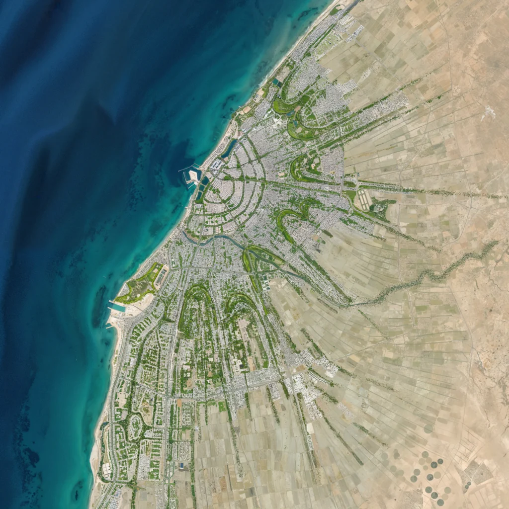
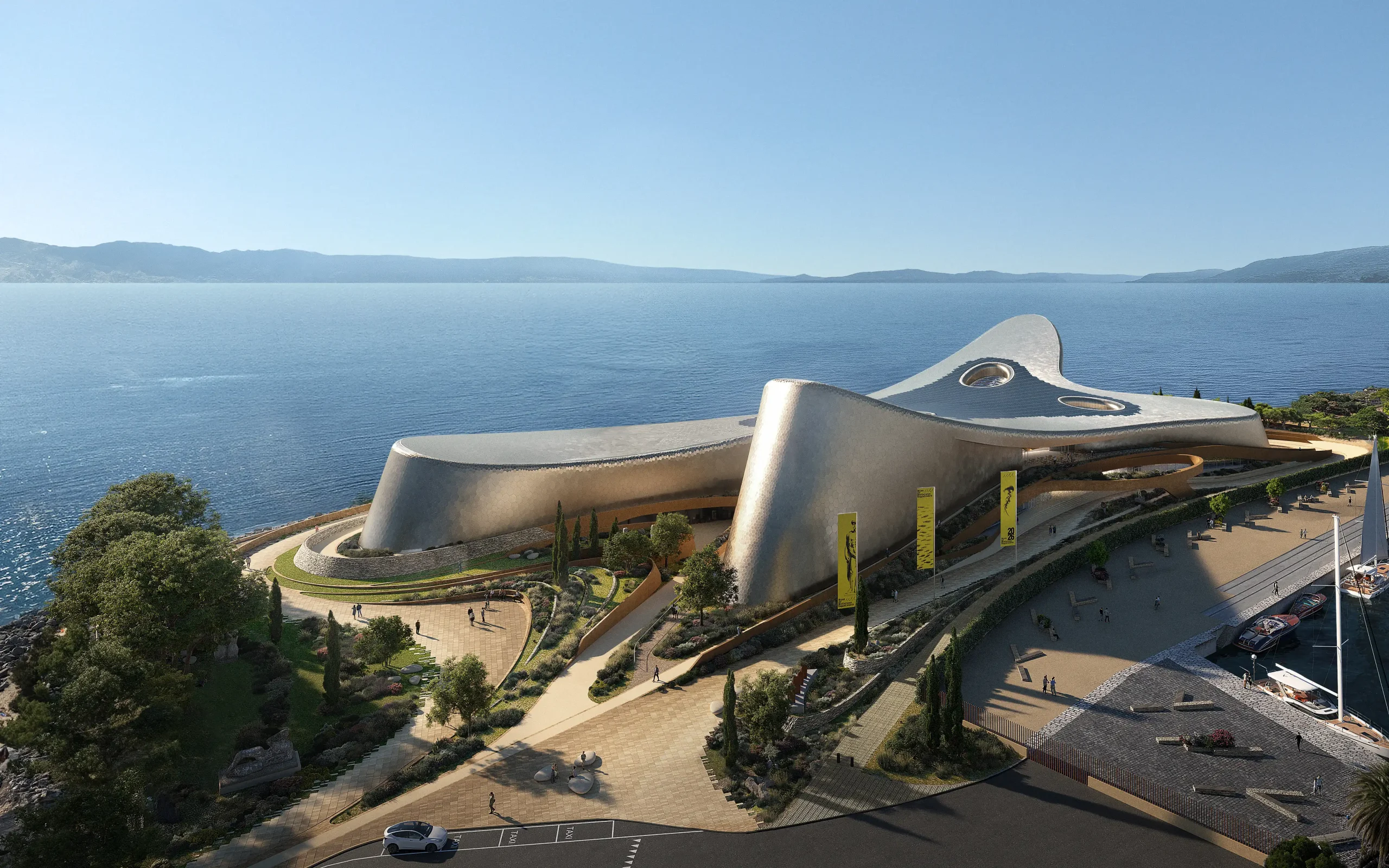
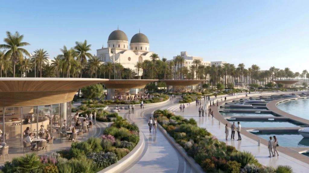
One of the strongest spatial intentions is the reconnection of Benghazi to its shoreline. Years of development and infrastructure have weakened the everyday relationship between the historic center and the sea. The proposal treats the waterfront as a continuous public and ecological asset rather than a leftover edge. Pedestrian routes, landscape systems, and carefully placed activity zones would stitch the old town back to the water while supporting the practical needs of a working port city.
This is not an exercise in looking backward. It is an argument that the city’s identity and its future economic life both depend on a strong, accessible relationship with the Mediterranean. The same logic continues inland: new neighborhoods are to be linked rather than left as separate expansions, and employment districts are positioned to reinforce rather than compete with existing centers.
Tools for a long horizon
Benghazi 2050 arrives while the city is actively discussing its next phase of reconstruction and growth. Earlier masterplans each tried to guide expansion in their own time. The current proposal stands out by pairing a culturally grounded spatial vision with a digital platform intended to remain useful for decades.
The real measure will be whether the tools are used. If the Digital Planning Hub becomes a shared reference for decisions, and if the principles of connection and restoration guide individual projects, then the plan can help Benghazi grow without losing the qualities that make it distinct. The historic port city would continue to face the sea, while its newer districts would be drawn back into a coherent urban whole.
In that sense, the ZHA-led proposal is less about predicting the exact shape of the city in 2050 and more about giving it the means and the direction to shape itself with greater clarity.