

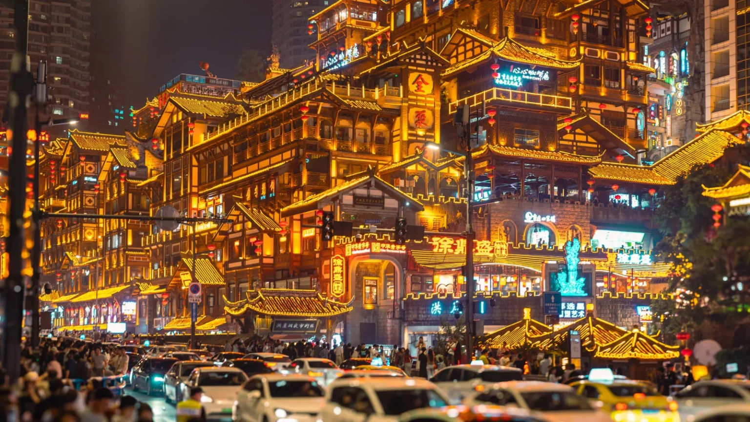


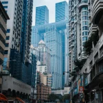
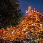
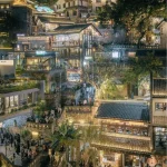
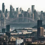
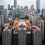
Chongqing, unlike any other on Earth, is located at the meeting point of the Jialing and Yangtze Rivers in China. Chongqing, often known as the Mountain City and renowned for its “8D” spatial experience, is a planning and engineering aberration. The city has more than 32 million inhabitants spread throughout gorges, hills, river basins, and tiered skylines. Chongqing is a living laboratory for planners and architects interested in high-density infrastructure, multi-level urbanisation, and the integration of human systems and landscape.
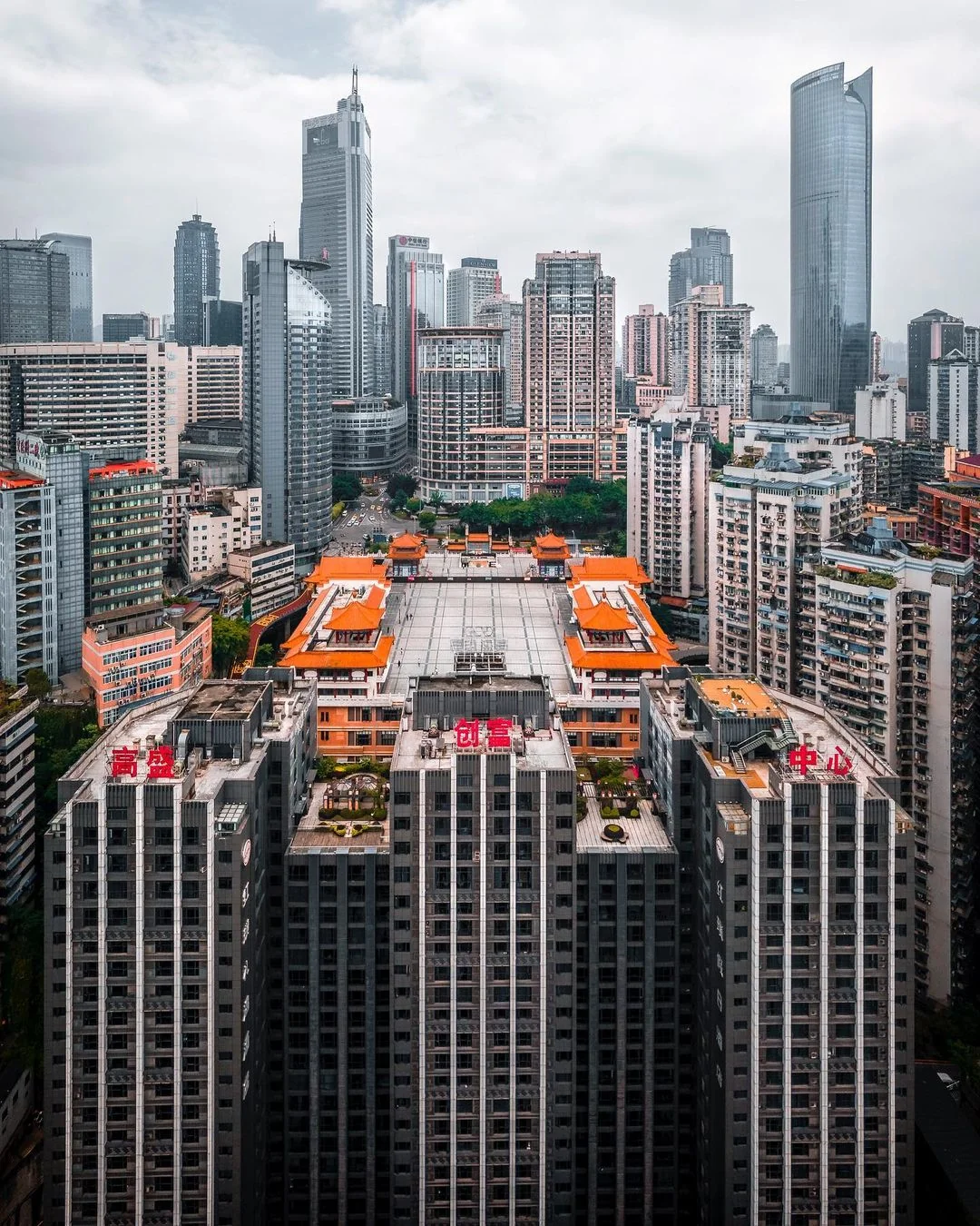
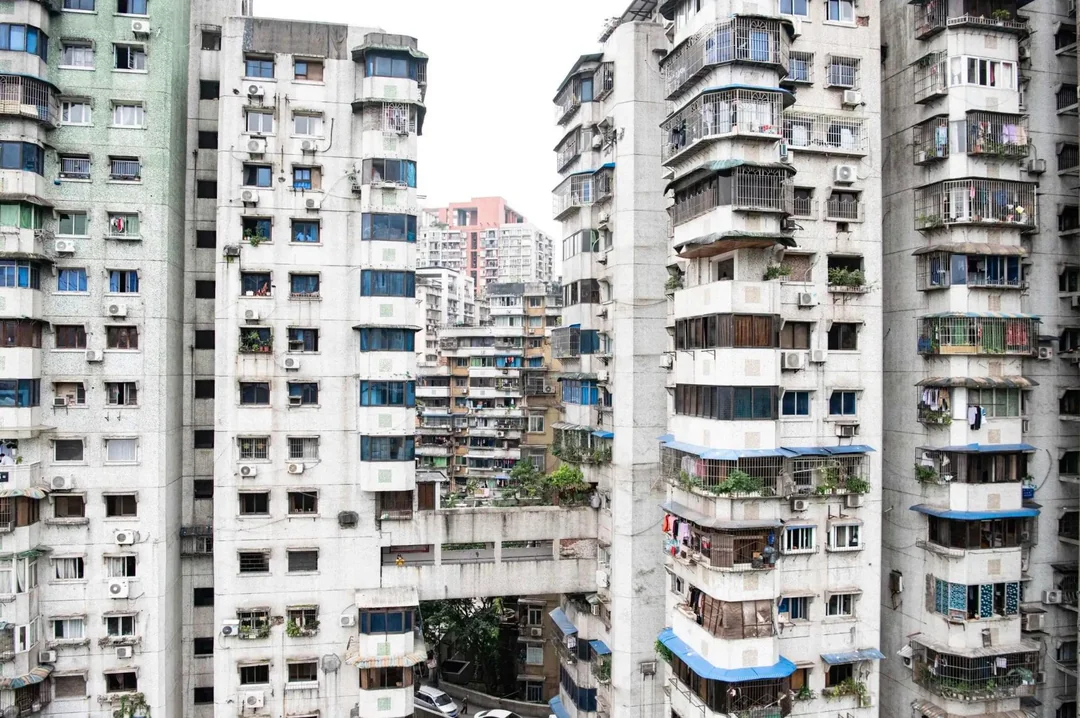
“In Chongqing, the ground floor could be on the 1st, 5th, or 10th floor, depending on which side you enter from”, says a local. Chongqing serves as an example of how geography, politics, and industrial development may influence one of the planet’s complex urban organisms in the context of contemporary city planning.
The 3D Complexity
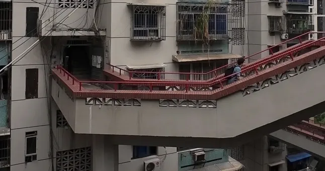
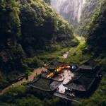
The planning of Chongqing is based on its actual geography. Because the city is built on top of steep hills, cliffs, and river valleys, there can be abrupt height changes of hundreds of meters. Its infrastructure and architecture have been significantly impacted by this striking terrain.
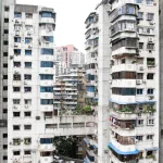
The urban layout of Chongqing features vertical layering, in contrast to other cities constructed on flat terrain. Depending on how high the nearby roadways are, buildings frequently feature entrances on several stories. For instance, because of the topography, a 30-story structure might have ground-level access on the first, twelfth, or twentieth floor.
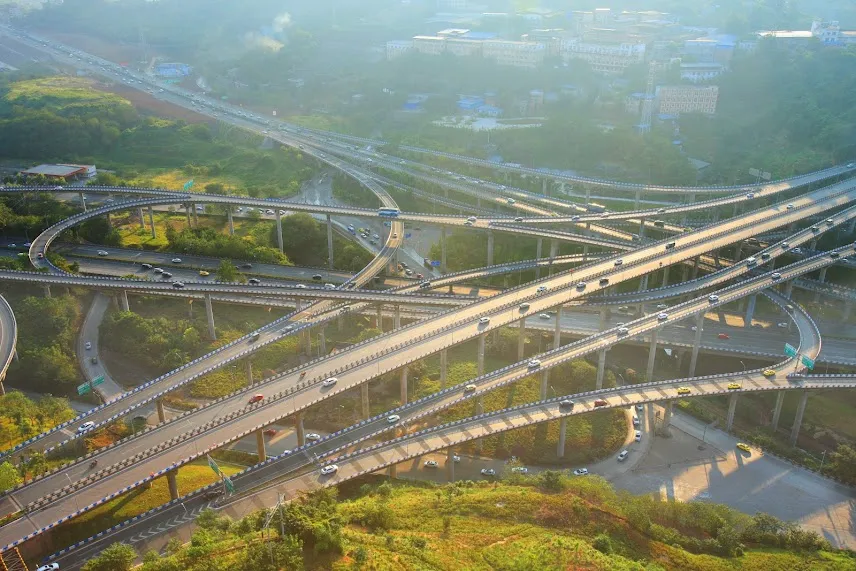
A distinctive “3D zoning logic” has emerged, in which several services are stacked on top of one another, with roadways, transportation networks, and pedestrian flows overlapping in layers akin to an urban lasagna. Here, traditional planning approaches are modified, which frequently divide rail, vehicle, and pedestrian transportation horizontally.
Administrative Planning
Like Beijing and Shanghai, Chongqing is a provincial-level municipality under direct central government supervision. However, unlike those coastal metropolises, Chongqing is roughly the size of Austria, spanning an area of approximately 82,400 square kilometres.
In Chongqing, city-level planning entails overseeing a variety of areas, including agricultural zones, rural villages, smaller satellite towns, hyper-urban districts, and even natural reserves. This calls for a governance model that can adapt to both rural development strategies and dense urban planning.
Chongqing has been able to establish a “central city + satellite town + rural belt” arrangement because of its size:
Key districts, including Yuzhong, Jiangbei, and Nan’an, are included in the Central Core (主城区), which is where Chongqing’s famous skyline and main economic activity are found.
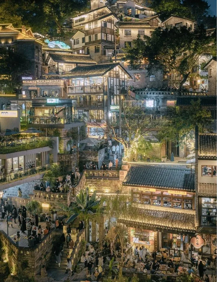
Liangjiang New Area and Chongqing High-Tech Industrial Development Zone are examples of Suburban New Areas (新区), which serve as planned centres of economic activity.
Outer Districts and Counties (远郊区县) consist of minor urban nodes, ecological preservation zones, and mountainous agricultural terrain.
This multi-nodal spatial framework promotes balanced development and regional economic integration while fostering decentralisation.
Vertical Blueprint
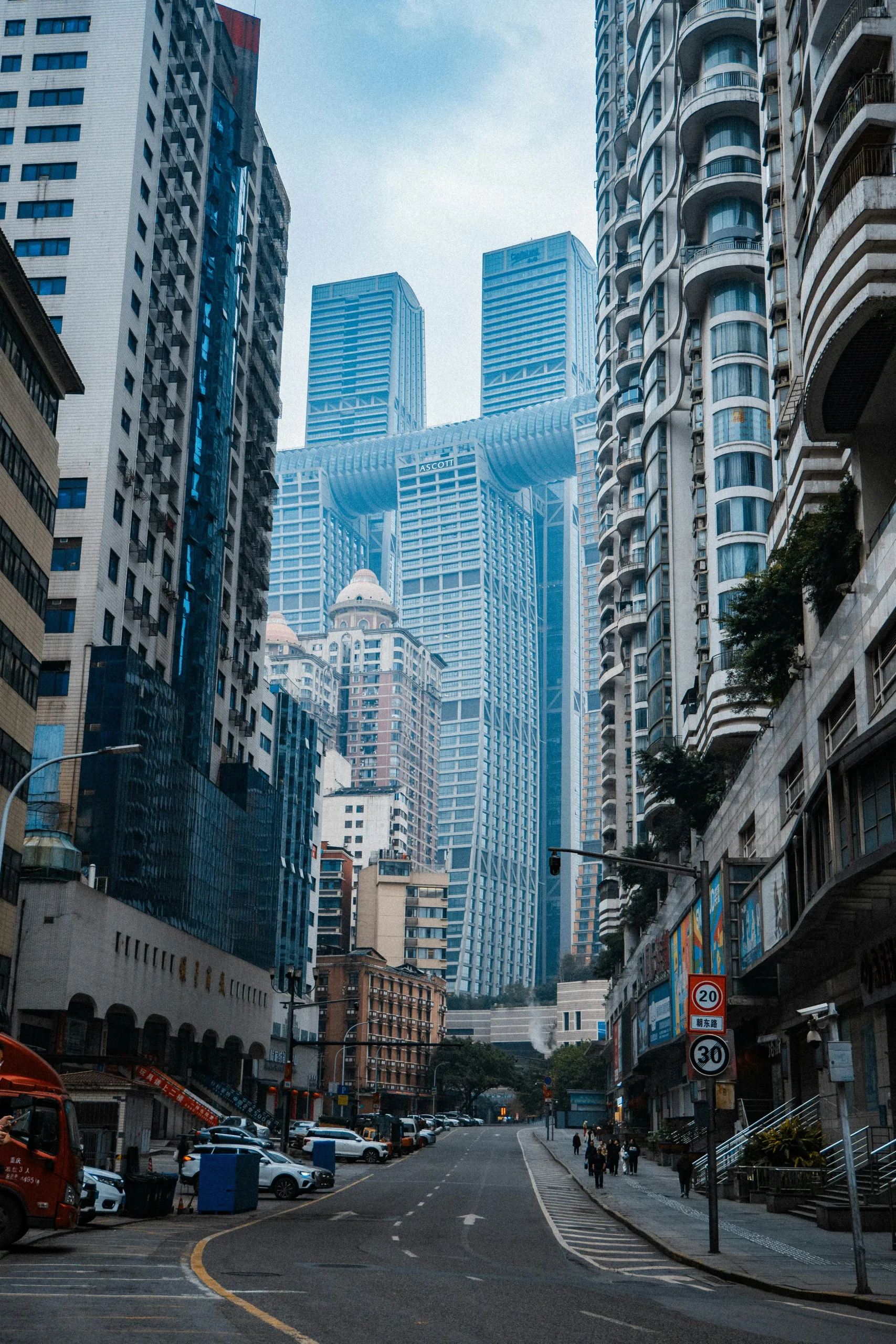
Verticality is not an aesthetic preference in Chongqing; rather, it is required. Here, urban planners are experts at creating cities in the sky. Skyscrapers are frequently connected via raised walkways, bridges at mid-height, and even rooftop public parks. As a result, a layered city model has been created, in which various altitudes fulfil various urban purposes.
The city’s transportation network is based on the lower levels that house vital infrastructure, including rivers, railroads, and main roads. Mid-levels facilitate the smooth integration of daily urban life into the vertical fabric by supporting pedestrian plazas, residential neighbourhoods, and commercial spaces.
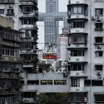
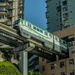
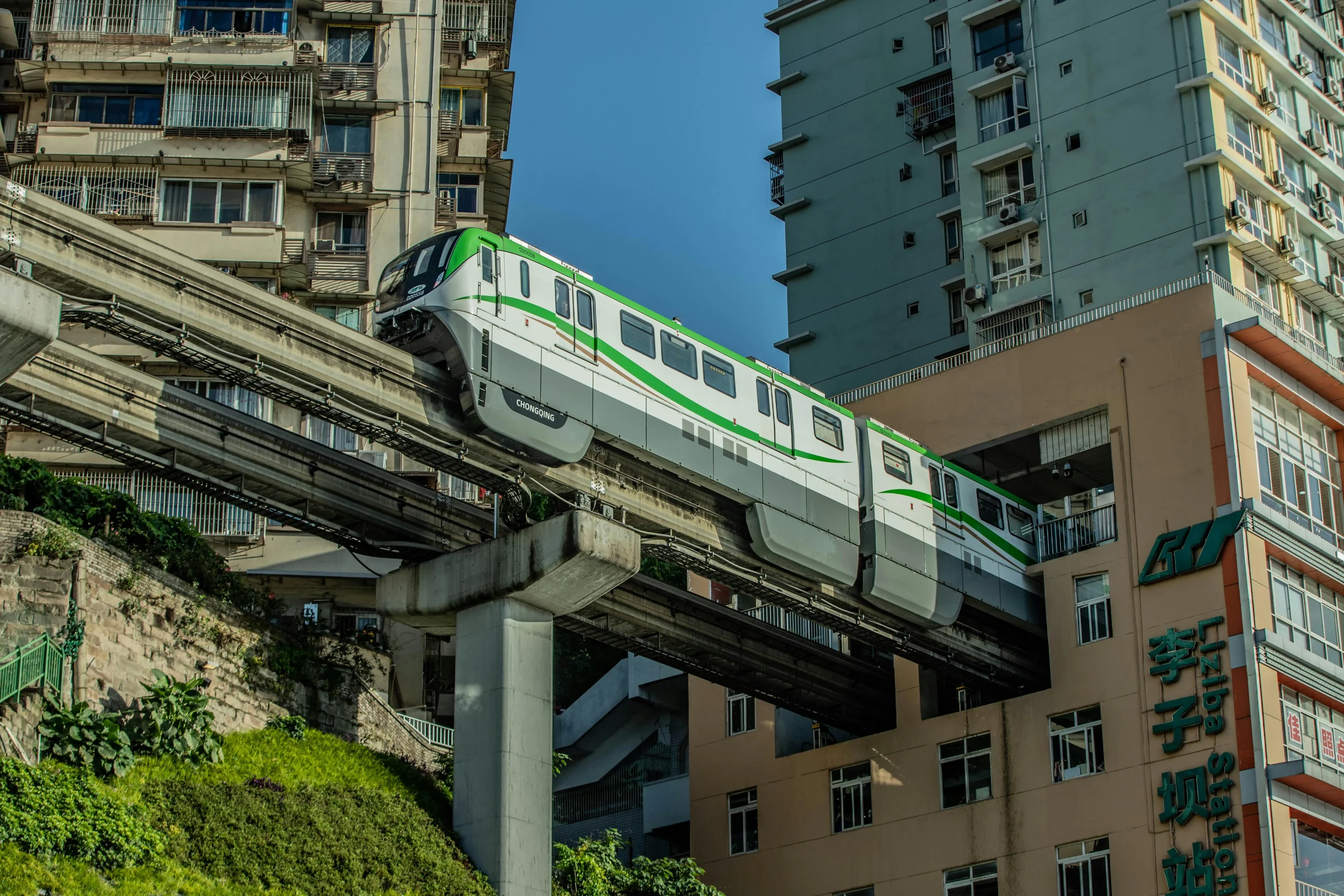
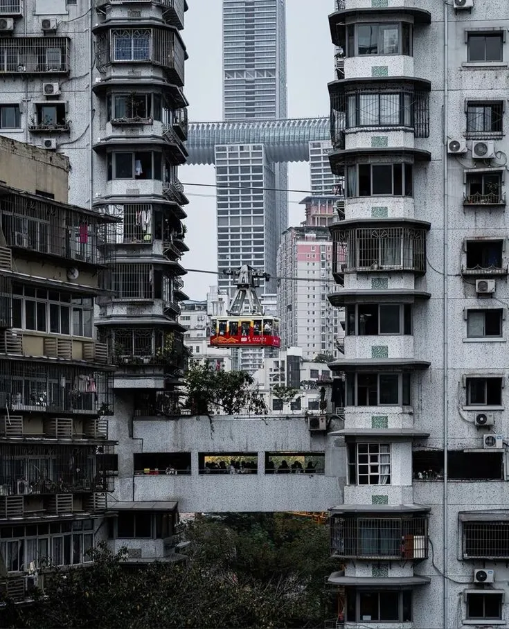
Public facilities like schools, cultural centres, and sky gardens are located on the upper levels. Notable instances of this vertical organisation are Liziba Station, where the light rail line runs straight through a residential building, an iconic example of transit-oriented vertical integration, and The Crystal, a horizontal skyscraper skybridge atop Raffles City Chongqing.
Social Life of Chongqing
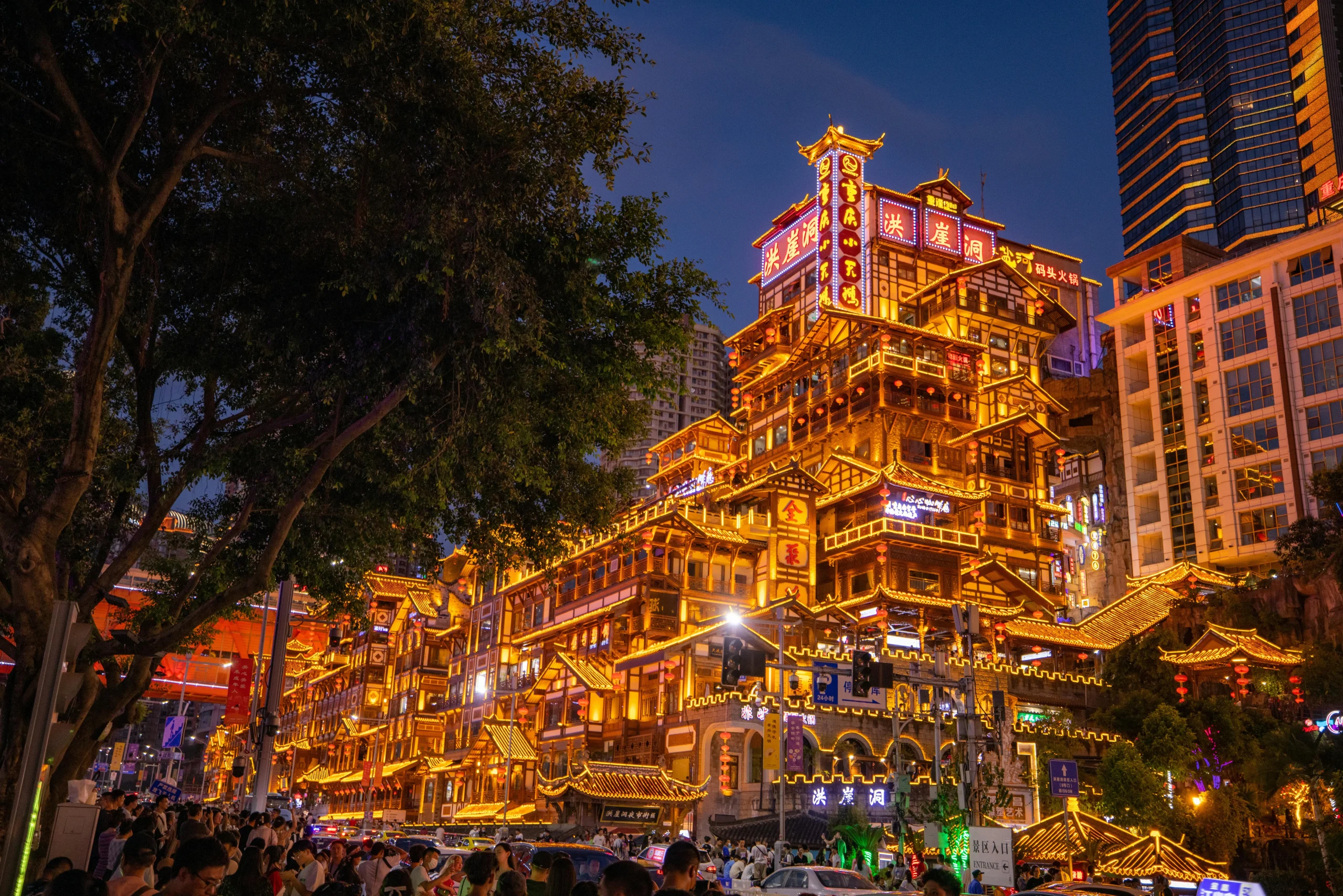
Social networks are created in Chongqing’s vertical urban setting through public plazas layered across elevations, shared sky gardens, and micro-communities inside high-rise towers. With mental maps, residents move between floors with ease via sky bridges, escalators, and lifts. With activities like dining, dancing, and shopping spread out across multi-story complexes, public life develops vertically. Wayfinding technologies assist locals in finding their way around this metropolis, while digital tools and locally tailored apps facilitate social coordination and navigation. Chongqing’s verticality creates dense, multi-layered settlements that flourish above and between its hills, reshaping social life.
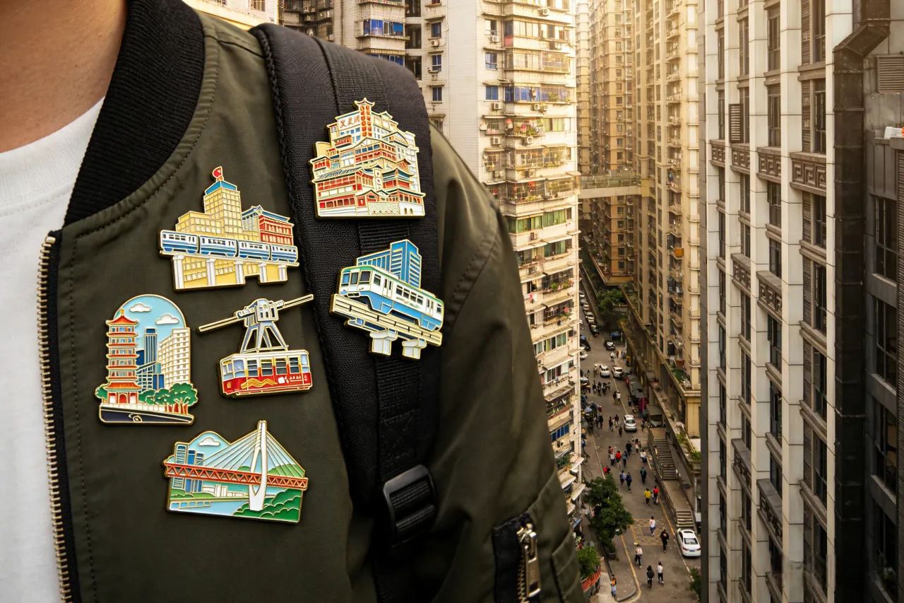
In a city defined by vertical layers and overlapping urban experiences, personal memory often finds expression through small, portable artifacts. One emerging example is the growing popularity of Custom Pins, which distill Chongqing’s complex spatial identity into miniature, collectible forms. Depicting landmarks, neighborhoods, or architectural motifs, these pins translate the city’s multi-level logic into a tangible keepsake that can be worn, shared, or gifted, allowing residents and visitors alike to carry a fragment of Chongqing’s extraordinary urban character beyond its steep hills and layered infrastructure.
Transportation Networks
Chongqing’s multi-layered transportation infrastructure, which includes metro lines, mountain railroads, tunnels, bridges, motorways, ferries, and cable cars, often intersecting at different elevations, is a defining feature of its complexity.
Metro & Monorail: To handle its mountainous terrain, Chongqing’s metro system consists of elevated monorails and deep trench subways. The monorail, Line 2, is a feat of engineering that runs among buildings and hugs cliffs.
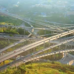
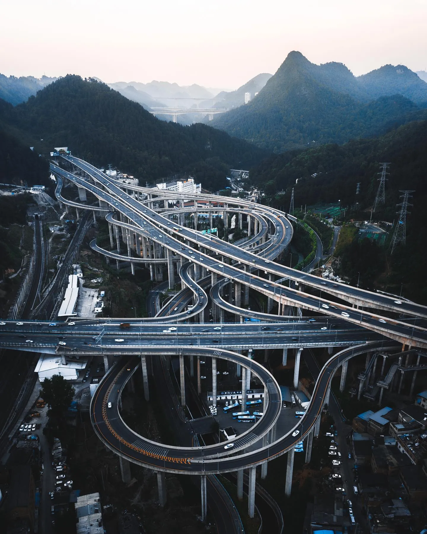
Roads and Motorways: Five levels are frequently found on urban roadways. For instance, the Huangjuewan Interchange is a very complicated five-layer cloverleaf intersection with fifteen ramps.
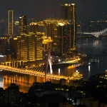
Bridges: Known as the “Bridge Capital of China,” Chongqing is home to more than 40 significant bridges, including the famous Chaotianmen Bridge, which is among the longest arch bridges in the world.
Cable Cars and Escalators: Because of the steep terrain, public escalators and cable cars are still practical forms of transportation. The Yangtze River Cableway offers aerial commutes throughout the city and is a popular tourist destination.
Chongqing’s Metamorphosis
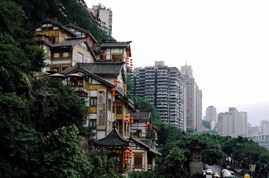
Historic neighbourhoods such as Ciqikou are renovated and preserved as pedestrian-friendly cultural hubs, encouraging tourism and community involvement. During the Mao era and World War II, Chongqing had a significant military-industrial hub. Large-scale adaptive reuse planning is part of its post-industrial development. Former weapons plants have been converted into tech campuses, creative centres, and cultural parks.
Sponge City
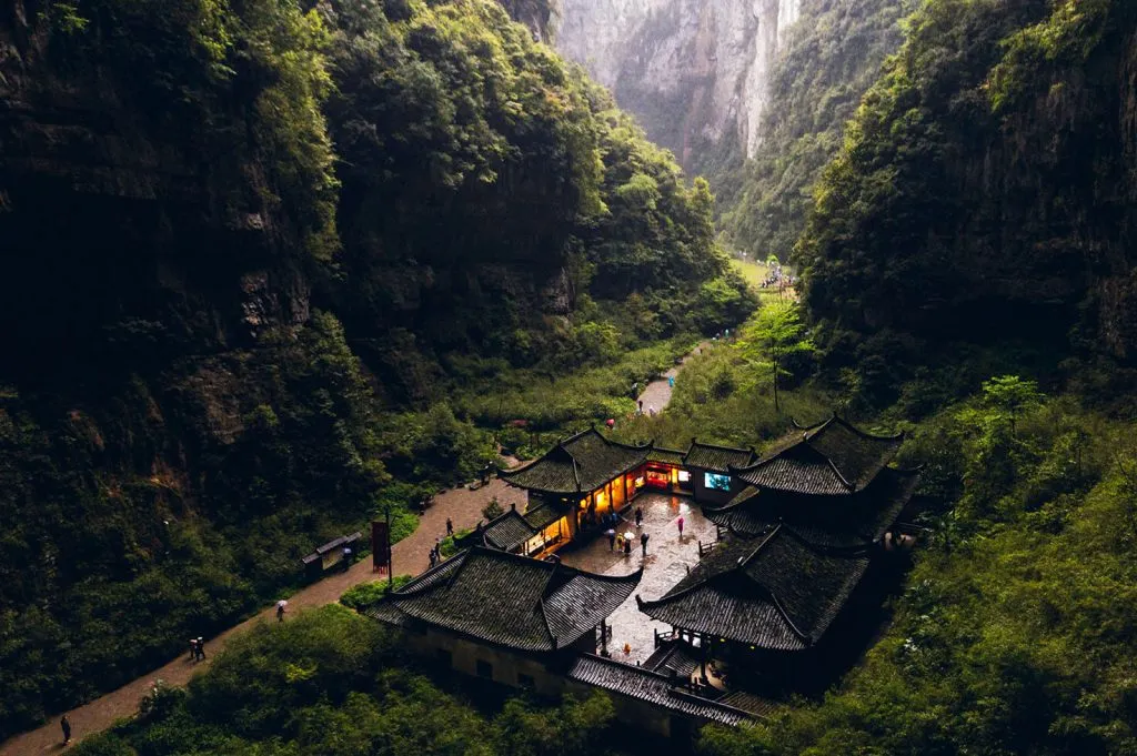
Because Chongqing is situated where two large rivers merge, it experiences landslides and flooding on a regular basis. In response, a variety of environmentally friendly plans and engineering solutions have been put into place by city planners with the goal of improving urban resilience.
Along the Yangtze River, terraced, flood-resistant waterfronts have been created to control rising water levels while maintaining accessibility and attractiveness. In order to prevent landslides, vegetated retaining wall systems have been incorporated into the landscape. Green roofs and permeable surfaces are used in new development projects, including sponge city principles, to absorb rainfall and lessen surface runoff. Chongqing’s planners have transformed environmental danger into a motivating factor for creative and sustainable urban development by adopting resilience via design.
The Illusion of a Ground Floor
Planners, architects, and urbanists are forced to renounce flatland presumptions by Chongqing. Its city-level planning, which integrates history, infrastructure, and topography, is an exercise in hyper-adaptivity. Chongqing flourishes in its environment rather than battling it.
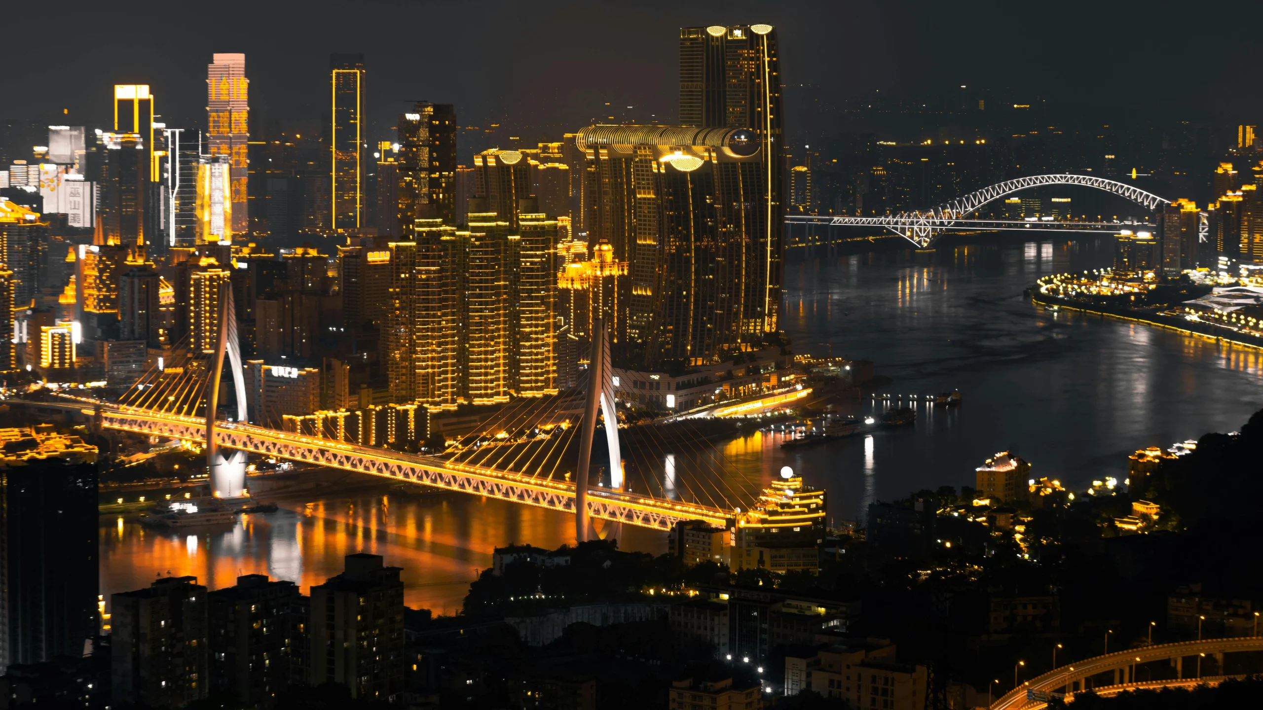
Building up, building through, and building with the land are three effective techniques that Chongqing offers as global cities struggle with land shortage, urban density, and climate change. It is more than just a mountain city in China; it is the global training ground for multifaceted urban planning.