




Cities carry the scars of their industrial past: abandoned rail lines, buried rivers, empty distilleries, disused ports. What separates a city that stays stuck with these scars from one that turns them into assets is deliberate design and long-term planning. The urban regeneration projects below show how architecture, landscape design, and public investment can convert obsolete infrastructure into functioning neighborhoods, parks, and cultural districts. Each one offers a different model, from grassroots artist-led renewal to state-funded infrastructure removal.
1. The High Line, New York City
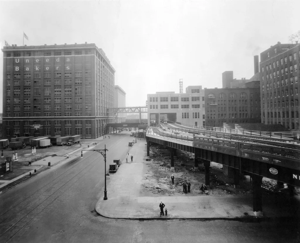
The High Line began as a freight rail line built in the 1930s to lift trains off Manhattan’s street-level tracks. Trains stopped running on it in 1980, and the structure sat abandoned for over two decades, overtaken by wild grasses and self-seeded trees. In 2004, James Corner Field Operations (landscape architecture and project lead), Diller Scofidio + Renfro (architecture), and Piet Oudolf (planting design) were chosen through an RFP process for the transformation. The team built the park in three phases between 2009 and 2014. A fourth extension, the Moynihan Connector, opened in 2023 through a collaboration between Field Operations and Skidmore, Owings & Merrill.
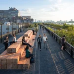
The finished park runs 1.45 miles through Chelsea and the Meatpacking District, elevated 30 feet above street level, and reclaims about 6.7 acres of former industrial land. The design keeps the original steel rails and ballast visible within Oudolf’s naturalistic planting, so the park reads as adaptive reuse.
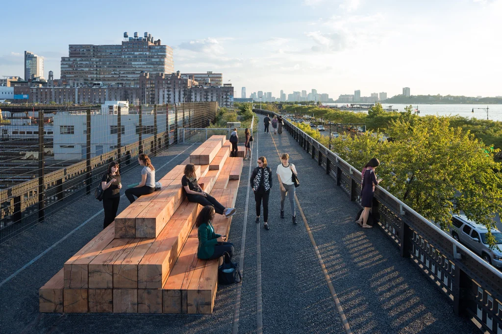
The High Line’s success reshaped the surrounding real estate market. Architects including Jean Nouvel, Frank Gehry, Shigeru Ban, Neil Denari, and Renzo Piano designed buildings along its route, and the Whitney Museum relocated to its southern end in 2015. That same success drew criticism: land values around the park rose sharply, and longtime residents and businesses in West Chelsea were priced out. The High Line is now the reference case for what happens when an urban regeneration project works too well for its own neighborhood.
2. Cheonggyecheon Stream, Seoul
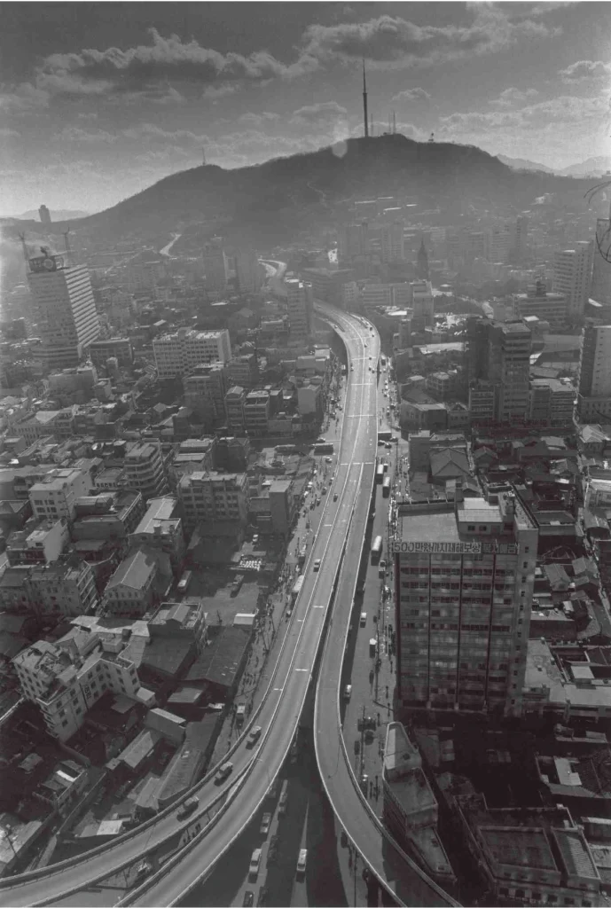
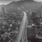
For decades, the Cheonggyecheon stream ran underneath a six-lane elevated expressway in the heart of Seoul, carrying roughly 168,000 vehicles a day. The highway had been built over the stream in stages from the late 1950s through the 1970s, when the city prioritized rapid industrial growth over its waterways.
In 2003, then-mayor Lee Myung-bak launched a project to tear the expressway down and expose the stream again. The demolition and restoration took 27 months. It reopened to the public in 2005, restoring 5.8 kilometers of open waterway through downtown Seoul. Since the stream’s original flow was seasonal, engineers keep it running year-round mainly with groundwater pumped from nearby subway stations, supplemented by treated water drawn from the Han River. Twenty-two new bridges, 12 for pedestrians and 10 for vehicles, now cross the corridor.
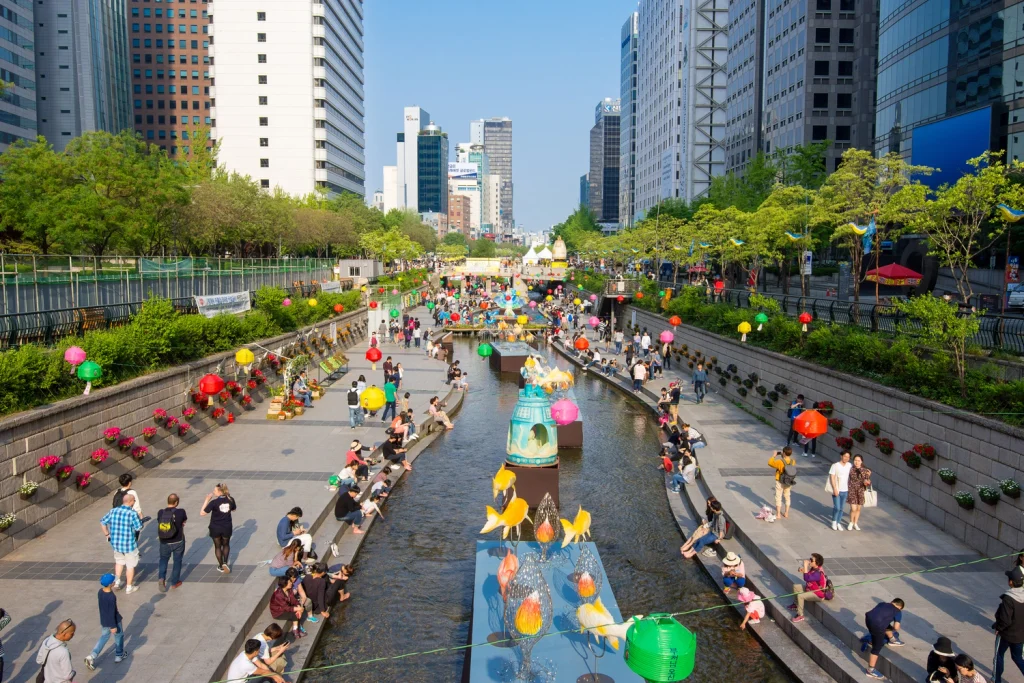
The results were measurable. Temperatures along the restored corridor dropped 3 to 5 degrees Celsius compared to nearby streets in summer, thanks to the water surface and vegetation replacing asphalt. Property values within 50 meters of the stream rose 30 to 50 percent, roughly double the citywide rate, and new business formation in the area outpaced the rest of downtown Seoul. The project won Harvard’s Veronica Rudge Green Prize in Urban Design and remains one of the most-cited examples of infrastructure removal as a form of urban regeneration.
3. King’s Cross, London
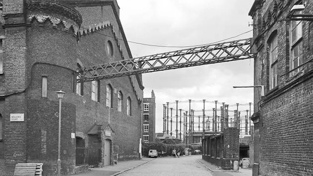
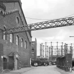
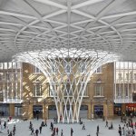
King’s Cross sits on 67 acres of former railway lands directly north of King’s Cross and St Pancras stations, once occupied by disused gasworks, warehouses, and rail yards. Developer Argent was appointed master developer in 2001, and the masterplan, prepared by Allies and Morrison, Porphyrios Associates, and Townshend Landscape Architects, received planning approval in 2006.
The plan restored 20 historic structures and added around 50 new buildings, more than 30 of them designed by different architecture firms including David Chipperfield Architects, Maki and Associates, and Heatherwick Studio, which converted a former coal transfer shed into the Coal Drops Yard retail complex. WilkinsonEyre converted three Victorian gasholders into residential buildings nicknamed “the Triplets.” At the same time, a separate structure, Gasholder No. 8, was turned into a public park designed by landscape architecture firm Bell Phillips Architects. Central Saint Martins art school moved into the restored Granary Building, and Google established its UK headquarters on site.
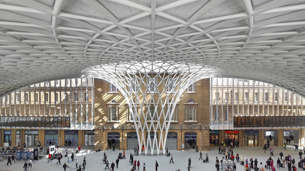
Roughly 26 acres of the site were set aside for public streets, squares, and parks, anchored by Granary Square. The regeneration delivered 3.4 million square feet of office space, 2,000 homes, and 500,000 square feet of retail. Between 2011 and 2019, employment in the area grew exponentially, and the number of firms based there roughly doubled between 2010 and 2021. King’s Cross now draws more than 19 million visitors a year and houses thousands of residents, workers, and students.
4. HafenCity, Hamburg
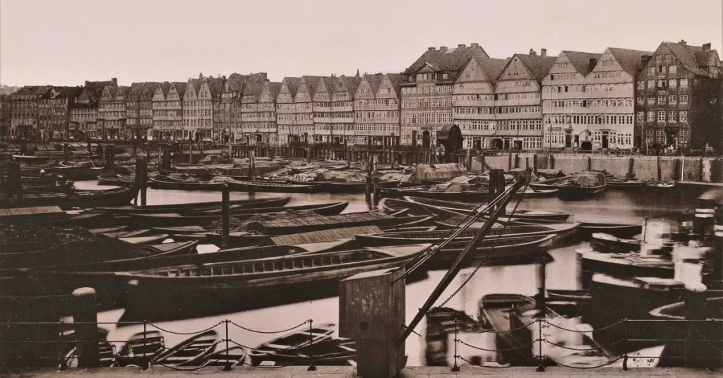
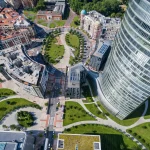
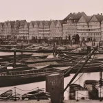
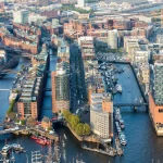
HafenCity occupies 157 hectares of former port land directly south of Hamburg’s historic center, expanding the city’s downtown by about 40 percent. Hamburg’s mayor first floated the idea of redeveloping the inner harbor in 1991, once container shipping moved to larger facilities downstream. A masterplan by KCAP and ASTOC Architects and Planners won an international competition in 1999 and was approved by the Hamburg Senate in February 2000, with a major revision in 2010 that extended the district eastward.
Because the site sits on reclaimed harbor land, most buildings are elevated to at least 8 meters above sea level to guard against tidal flooding. Lower-lying quays and promenades sit closer to the water and are designed to flood periodically, with floodwalls and waterproof barriers built into individual buildings. The district’s architectural anchor is the Elbphilharmonie concert hall by Herzog & de Meuron, built on top of a former warehouse and completed in 2017. At 108 meters, it is Hamburg’s tallest inhabited building and has become the symbol of the entire district.
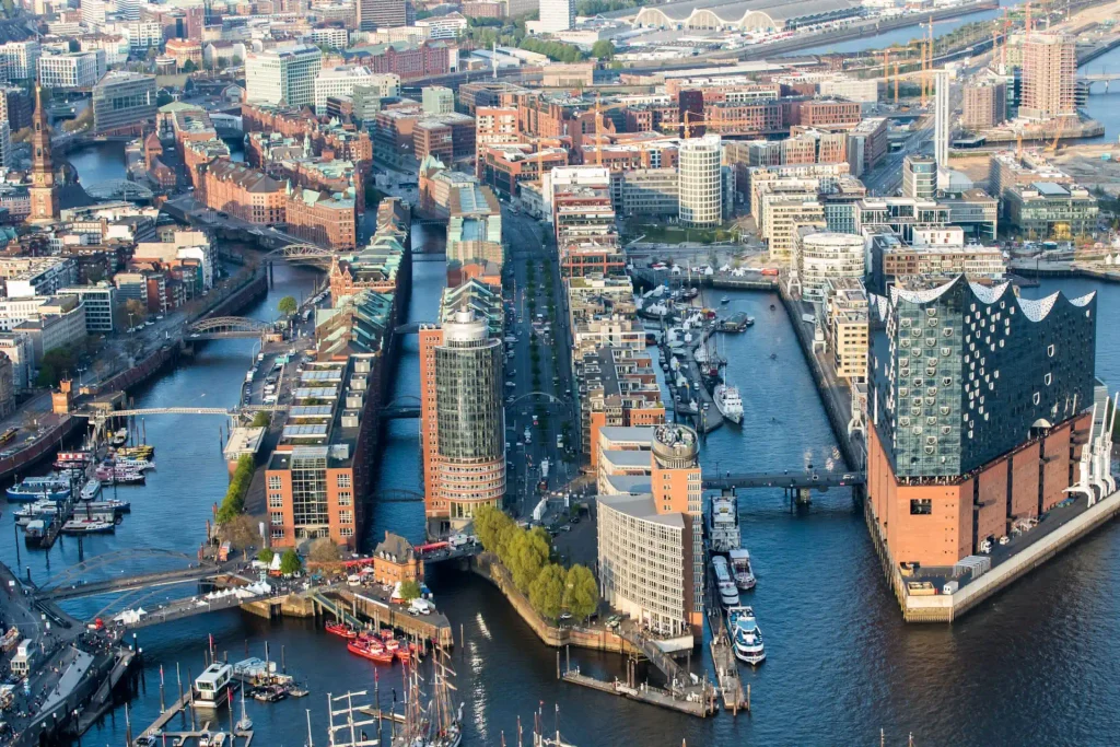
HafenCity is planned to deliver thousands of homes and jobs once complete, with construction expected to continue into the 2030s. It borders the Speicherstadt warehouse district, a UNESCO World Heritage Site since 2015, and its design deliberately avoids the single-use office towers that defined earlier waterfront projects like London’s Docklands, favoring a mix of housing, offices, culture, and education in every quarter.
5. Medellín Urban Regeneration / Comuna 13
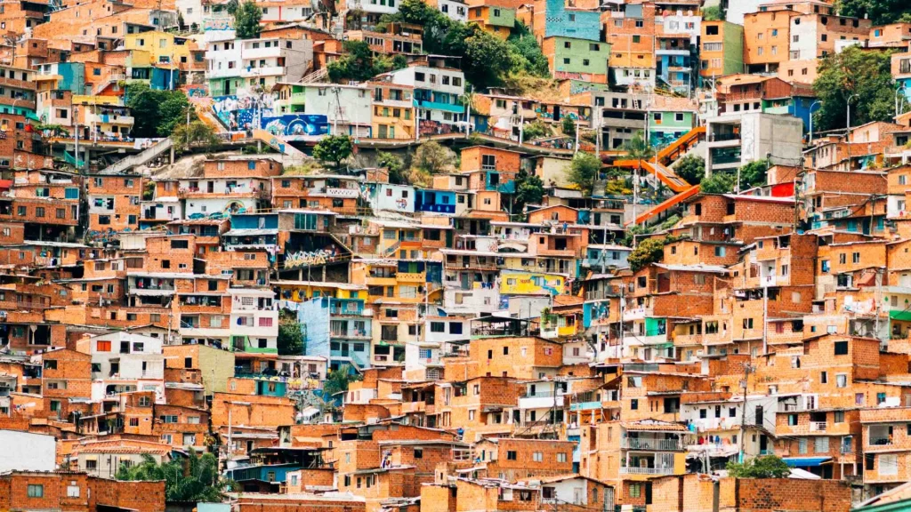
Medellín’s transformation began under mayor Sergio Fajardo, who took office in 2004 with a strategy that his administration called “Social Urbanism.” The city used the Human Development Index to identify its poorest and most violent neighborhoods and directed public buildings and infrastructure there first.
The centerpiece of this strategy was the library park, a combination of public library and civic plaza designed with the same architectural ambition usually reserved for wealthier districts. Biblioteca España, designed by architect Giancarlo Mazzanti and completed in 2007 in the Santo Domingo neighborhood, became the most recognized example, though its story is not a clean success. Structural failures and water damage led the city to close the building in 2013 and 2014, and it stayed shut through years of legal disputes and a full structural rebuild before reopening in late 2023. Between 2004 and 2014, Medellín built 120 schools and nine library parks in total.
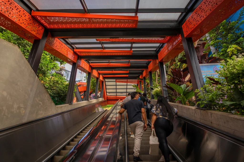
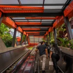
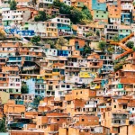
Comuna 13, once one of the city’s most dangerous neighborhoods due to its role as a drug and arms corridor, received a set of outdoor escalators in 2011, built in six sections spanning a 350-meter climb and 67 vertical meters of elevation gain. The escalators cut the commute up the hill from roughly 35 minutes on foot to about 6 minutes. The neighborhood also gained its own library park, San Javier, designed by architect Javier Vera Londoño, and a Metrocable gondola line connecting it to the wider metro system. Medellín’s Metrocable, launched in 2004, was the first cable car system in the world built for everyday public transit.
6. Abandoibarra, Bilbao
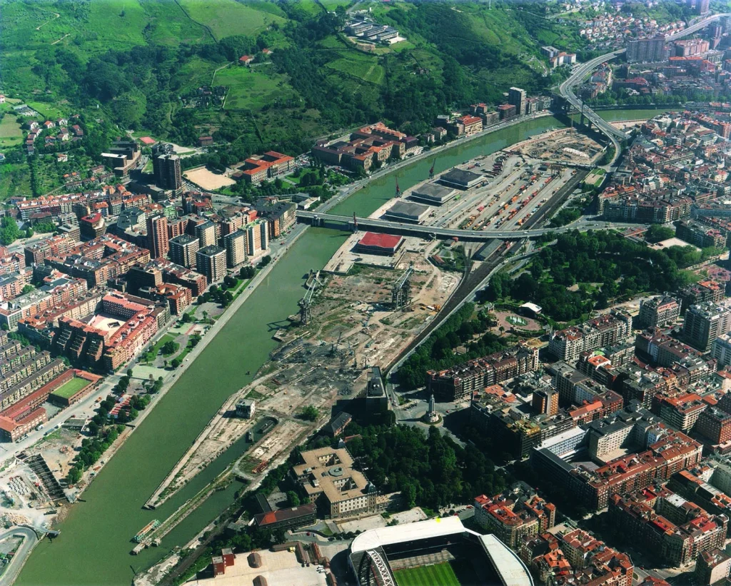
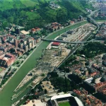
Abandoibarra was Bilbao’s shipbuilding and industrial waterfront until the sector collapsed in the 1980s, leaving the site derelict along the Nervión River. The Guggenheim Museum Bilbao, designed by Frank Gehry, opened in October 1997. Cesar Pelli’s team had already won the competition for the Abandoibarra masterplan in 1993, so the conceptual framework for the district was underway alongside the museum’s construction, even though the museum was completed and opened first. The Guggenheim’s success, often called the “Bilbao Effect,” gave the city the confidence to push ahead with the rest of the district.
The Abandoibarra masterplan covers roughly 30 to 35 hectares, two-thirds of which is dedicated to parks and open space, a move to make the district Bilbao’s most pedestrian-friendly area. A light rail line now runs along the waterfront on a landscaped strip that also functions as a linear park.
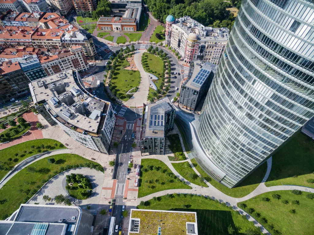
Individual buildings were assigned to a roster of internationally known architects: Rafael Moneo designed the University of Deusto library, Álvaro Siza designed the university auditorium, Robert A.M. Stern designed the Zubiarte shopping center, and Cesar Pelli designed the Iberdrola Tower, now the tallest building in the city. The results extended beyond architecture. Annual conference visitors to Bilbao rose roughly tenfold, and airport passenger traffic nearly tripled between 1994 and 2005.
7. Pearl District, Portland
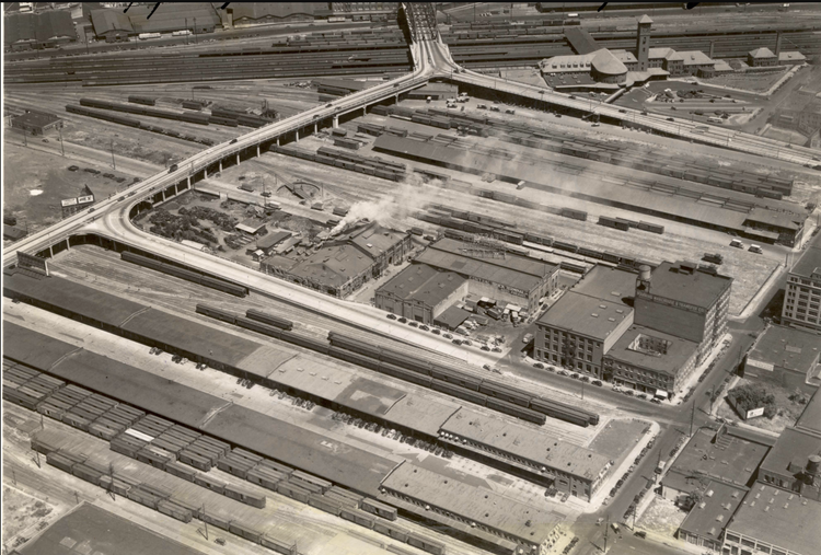
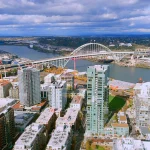
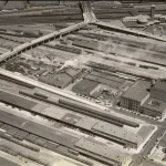
The Pearl District occupies a former railyard and warehouse zone just north of downtown Portland. Artists began renting cheap warehouse space there in the early 1970s, and the area slowly built a reputation for galleries before the city and developers formalized a redevelopment plan in the 1990s.
In 1994, Hoyt Street Properties purchased a 34-acre parcel of former rail land. The city struck a density-for-amenities deal with developers: build a streetcar line and three public parks, and the city would allow far higher density, up to 133 to 150 dwelling units per acre instead of the original 15. The Portland Streetcar opened in 2001, the first modern streetcar system built in the United States, and it directly shaped the district’s layout around transit.
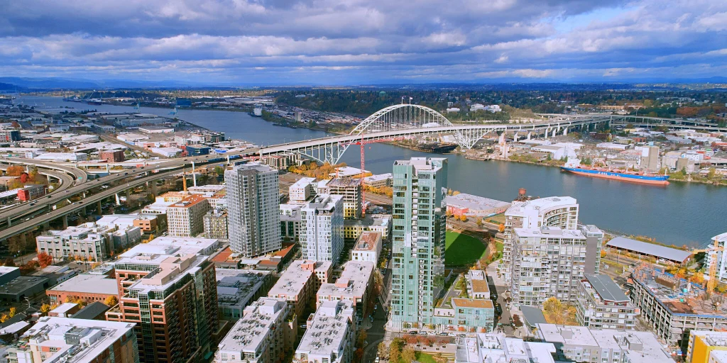
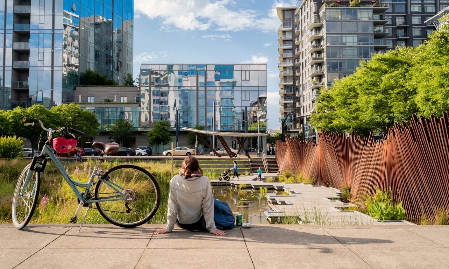
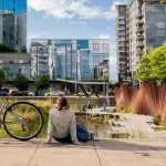
Peter Walker and Partners designed two of the district’s three signature parks: Jamison Square, with a stepped fountain that immediately became a neighborhood gathering point, and Tanner Springs Park. The third, The Fields Park, was designed by Office of Cheryl Barton. Between 1997 and 2008, the city recorded $3.5 billion in construction investment within two blocks of the streetcar line. The Pearl District is now held up as a model for transit-oriented redevelopment built through negotiated public-private agreements.
8. Distillery District, Toronto
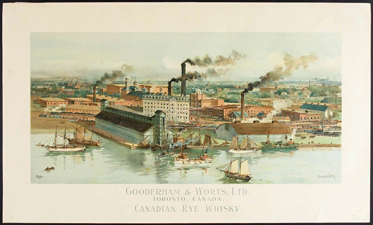
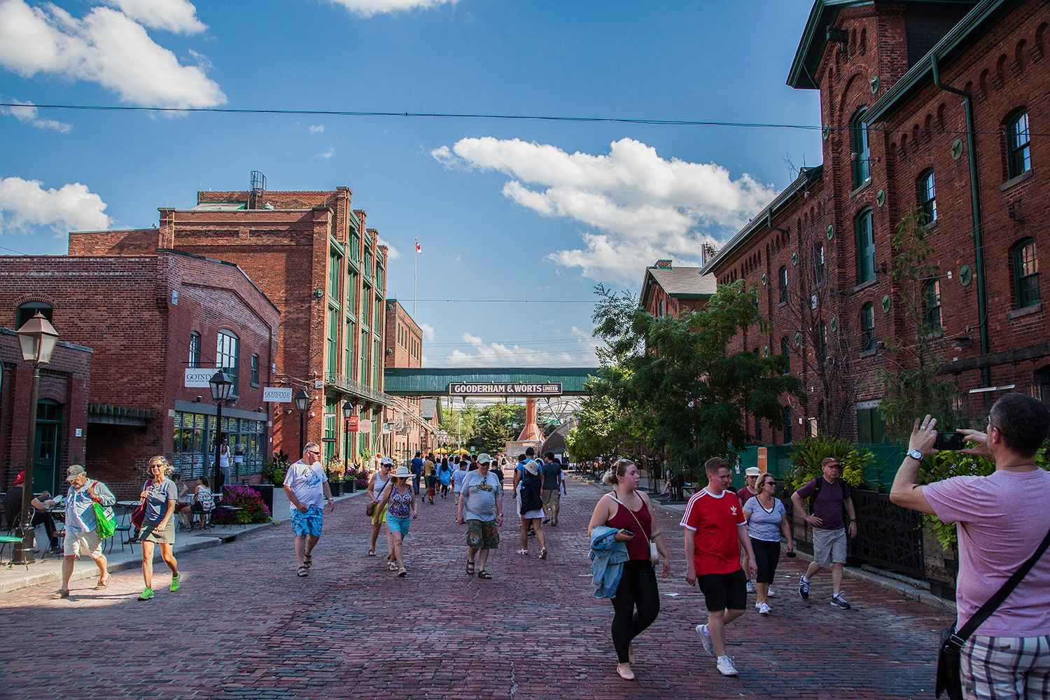
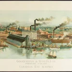
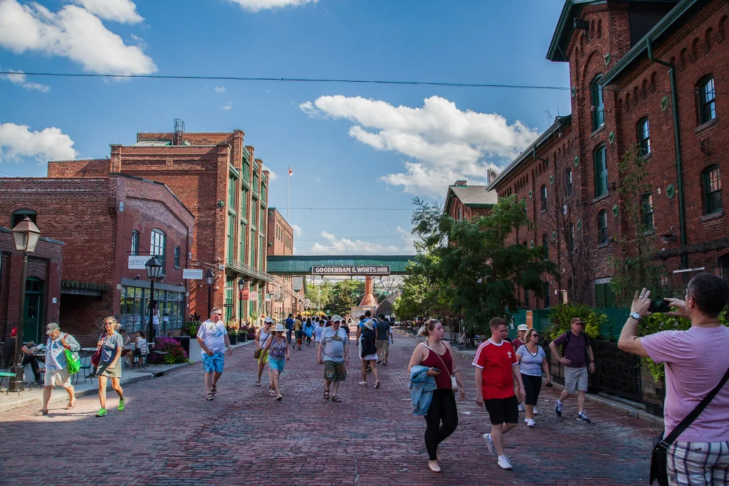
The Gooderham and Worts Distillery was at its peak in the 1870s, the largest distillery in the British Empire, producing around 7 million liters of whisky and spirits a year. David Roberts Sr. designed the earliest structures, including the stone distillery and engine house, while his son David Roberts Jr. designed most of the brick buildings added during the site’s major expansion in the 1880s and 1890s. Together, their work forms what is now recognized as the largest intact collection of Victorian industrial architecture in North America.
After the distillery closed in 1990, the 13-acre site sat mostly unused except as a filming location, appearing in multiple productions. In 2001, developer Cityscape Development purchased the site with the intention of converting it into an arts and culture district while preserving its industrial character. ERA Architects served as architect of record and heritage consultant from 2001 to 2004, stripping away mid-20th-century alterations to expose original brick, timber, and plaster, and salvaging vintage lumber for reuse inside the buildings.
The completed district converted more than 350,000 square feet of heritage space into galleries, theatres, breweries, and restaurants, all within a pedestrian-only precinct that keeps its cobblestone streets closed to vehicle traffic. It won Heritage Toronto’s Special Achievement Award in 2015 and stands as an example of adaptive reuse driving urban regeneration without demolishing the industrial fabric that gave the site its identity.
A masterplan approval is the easy part to write about. What follows is harder, and three patterns hold across most large-scale regeneration efforts.
Timelines run long: full build-out routinely takes fifteen to twenty-five years, even for projects built around removing infrastructure rather than constructing a new district. A landmark building rarely does the work alone; the street grids, parks, and transit links behind it usually matter more to daily life than the icon itself. And none of these stories end cleanly. Buildings fail and need rebuilding, success drives up rents, and the residents a regeneration was meant to serve can end up pushed out by it. Regeneration is not a switch a city flips once. It is a commitment a city keeps renewing long after the opening ceremony.