




Water cities are settlements where rivers, canals, lakes, or coastal inlets are not a background feature but the organizing structure of the urban plan. Streets follow the water, transportation runs by boat instead of cart, and the built form (from house entrances to market squares) is arranged around access to water. This is different from a city that simply sits near a river. In a true water city, the water network is part of the infrastructure, on par with roads and walls.
For past civilizations, settling near water was rarely optional. Rivers, lakes, and coastal channels provided drinking water, irrigation for farmland, and a natural defense line against invasion. Just as important, water was the fastest and cheapest way to move people and goods before railways and highways existed. A city on a navigable river or a protected inlet could trade with distant regions, attract merchants, and grow wealthy in ways a landlocked settlement could not. This is why so many of history’s major trade and cultural centers, from the Grand Canal cities of China to the tidal ports of Flanders, grew up directly on water.
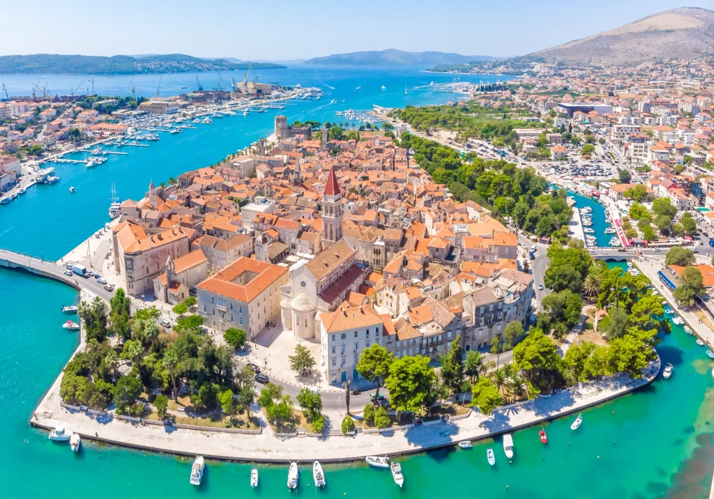
Water also shaped culture and daily life. Festivals built around river processions, markets held on boats, architecture designed with canal-facing facades and water gates: all of these grew out of the practical need to live and work on the water’s edge. Today, water still shapes urban life, but the emphasis has shifted. Cities now plan around water for flood resilience, waterfront regeneration, and climate adaptation, not just trade.
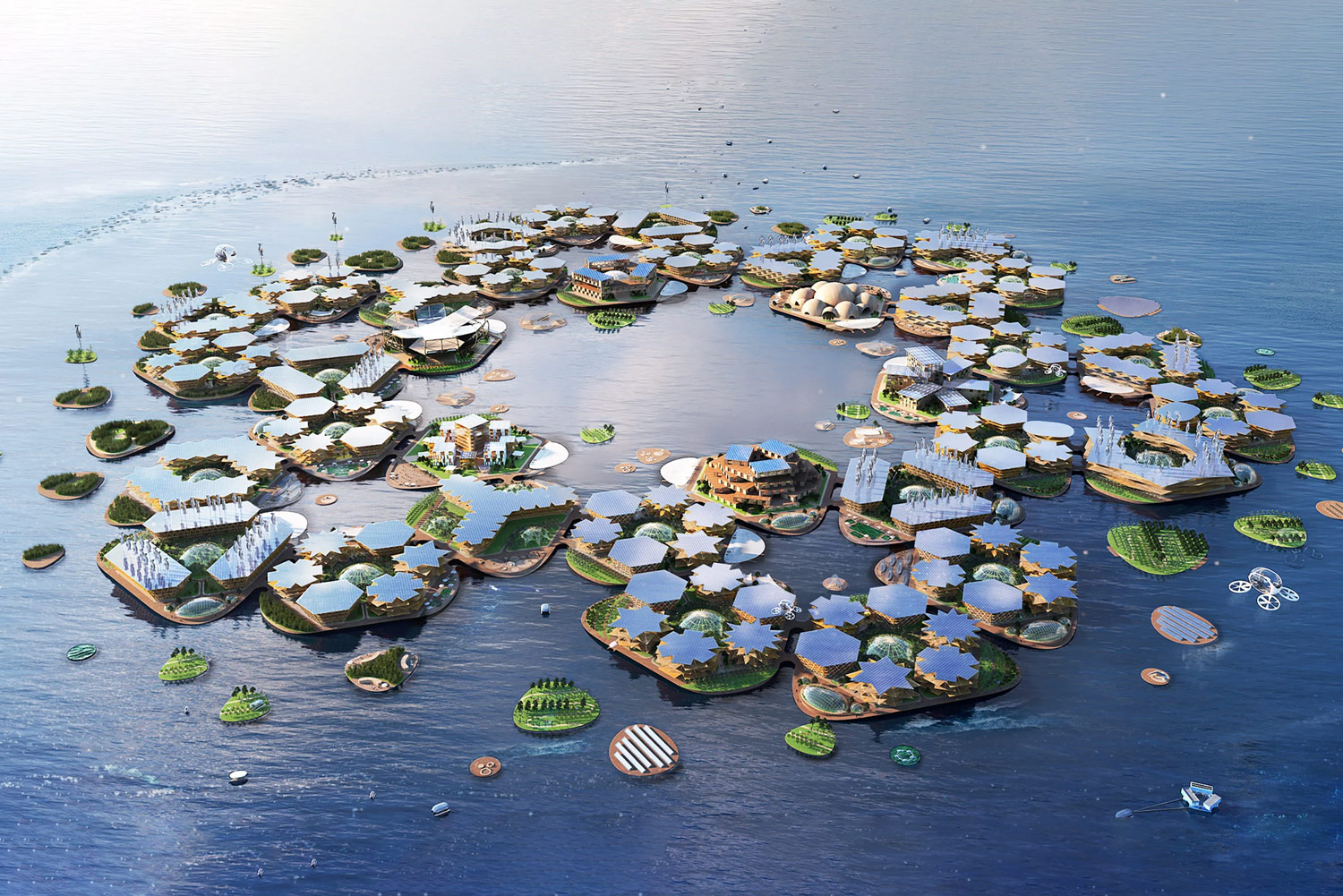
Old water cities are being re-studied by planners for lessons on density, drainage, and mixed-use waterfront design, while new developments look to floating and amphibious construction as a response to rising sea levels. The relationship between cities and water has not ended. It has changed form.
1. Suzhou, China
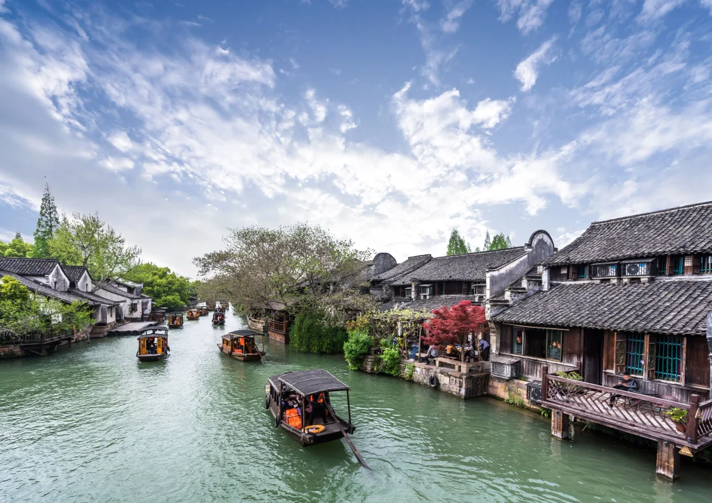
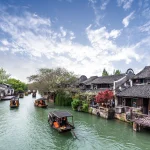
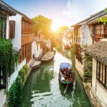
Suzhou sits on the Taihu Lake Plain in the Yangtze River Delta, where a dense mix of natural rivers, lakes, and artificial canals gave the city its identity as a water city, long before Marco Polo reportedly compared it to Venice. The canal network took shape gradually from the Spring and Autumn period onward, with major digging tied to the Grand Canal, the hydraulic project that eventually linked Beijing to Hangzhou and made Suzhou one of its key southern nodes.
What sets Suzhou apart is its dual grid: canals and streets running parallel, block by block. Merchants entered through city gates built to handle both waterborne and road traffic at once, letting the city function as a full trade hub. Goods moved by boat directly to warehouse doors while roads carried local traffic. This dual-grid model is a reference point for scholarship on Chinese water-city morphology.
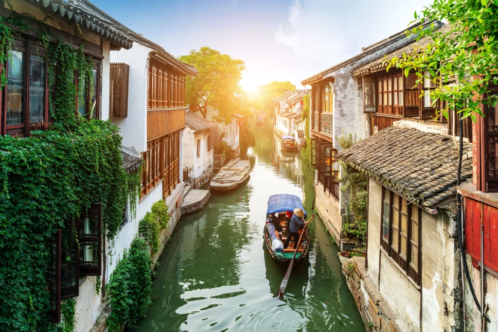
Over the twentieth century, urbanization filled in many of Suzhou’s smaller canals, and the grid’s practical role shrank even as its heritage value grew. UNESCO listed Suzhou’s classical gardens, many built along these waterways, as a World Heritage Site in 1997 and 2000. More recently, the city commissioned TLS Landscape Architecture to renovate a 13-kilometer stretch of the Grand Canal waterfront, addressing flood risk from urban runoff while reconnecting residents to a shoreline that had grown disconnected from daily life.
2. Cairo, Egypt
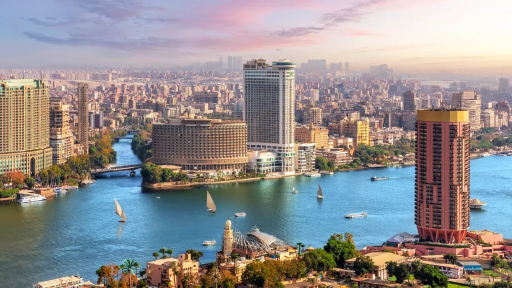
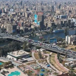
Cairo’s urban history is a story of successive cities built along the Nile, each choosing its site based on the river’s behavior. The earliest, Fustat, was founded in 641 CE by the Arab general Amr ibn al-As, positioned next to a Roman-era canal linking the Nile to the Red Sea, to transport grain from Egypt to Medina and Mecca in Arabia.
In 969 CE, the Fatimid general Jawhar al-Siqilli founded a new royal city, Al-Qahira, just north of Fustat. The site was chosen partly for elevation, land high enough to avoid the Nile’s annual floods, a practical planning decision as much as a military one. Fatimid planners laid the city out on strict geometric principles, with wide boulevards and a palace complex occupying a large share of the walled city. Later dynasties, the Ayyubids and Mamluks, extended Cairo’s fabric outward to absorb Fustat into one continuous city.
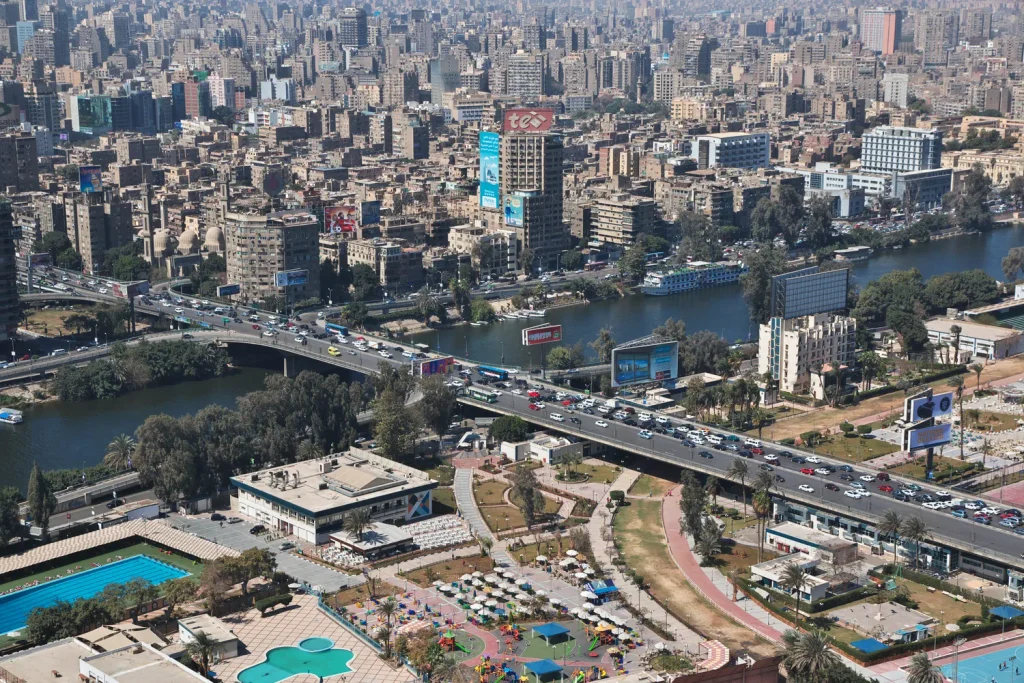
Water shaped Cairo at the infrastructure level too. A medieval aqueduct, Sur Megra El-Ayoun, linked the city to the river and supported a network of canals, cisterns, and sabils (public water fountains) still visible in the historic core. These water access points, built directly into the residential quarters, are one of Historic Cairo’s defining features and part of why UNESCO recognizes its layout as unique in the Islamic world. Modern flood control, including the Aswan High Dam, has since permanently changed the flood cycle that shaped the city for thousands of years.
3. Delft, Netherlands
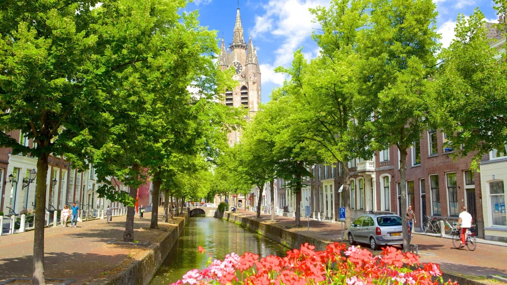
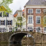
Delft takes its name from the Old Dutch word “delf,” meaning to dig or delve, a direct reference to the canal that founded the city. The first canal, Oude Delft, was dug around 1100 CE to drain the surrounding peatland, and the settlement took its name from that act of digging. Unlike many Dutch water cities that formed around a natural river, Delft was built on reclaimed land, with the canal network draining the ground and creating a stable, buildable surface as the soil compacted.
The canals were originally functional, drainage first, transport later. By the end of the 12th century, a second canal, Nieuwe Delft, was cut through the settlement, and fortified singels (moat-like water rings) were later added for defense. Delft was chartered in 1246 and connected to the sea in 1389 through the Delfshavensche Schie canal, plugging the city into international trade routes.
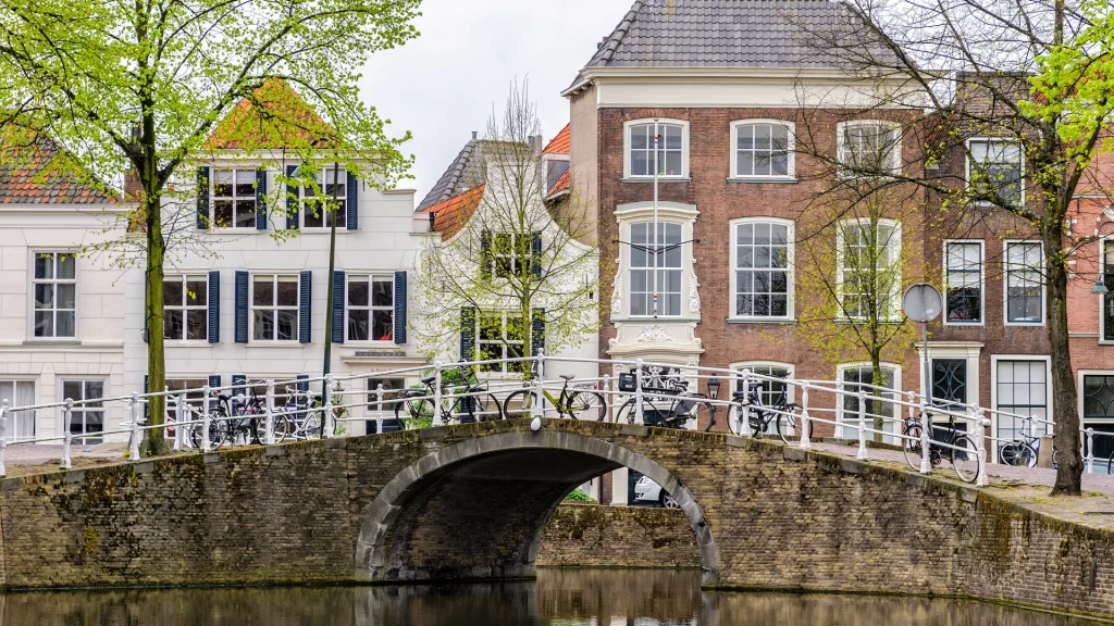
By the 17th century, during the Dutch Golden Age, Delft had grown into a dense trading and manufacturing center, its canals nearly level with the street, a distinct relationship with water compared to cities where canals sit lower than street level. This tight water-street integration shaped Delft’s compact old-town grid: just a handful of true streets surrounded by far more canals and alleys. The canal network also supported the ceramics trade behind Delftware, and later fed the hydraulic research still carried out at Delft University of Technology, whose labs worked on the Delta Plan for the Rhine and Meuse estuaries.
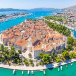
4. Osaka, Japan
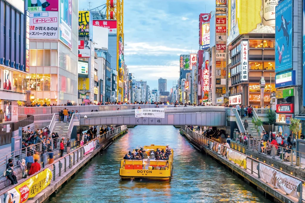
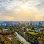
Osaka’s identity as Japan’s “city of water” goes back to its geography: the city sits on alluvial land built up by sediment from the Yodo and Yamato Rivers, forming a plateau and sandbars where a trading port grew as early as the sixth century. The turning point came in 1583, when the warlord Toyotomi Hideyoshi built Osaka Castle on the site of a destroyed fortified temple town. After the Tokugawa shogunate took direct control in 1615, it excavated a full network of canals to formalize Osaka as a castle town.
This canal-building was also a soil-engineering project. Osaka’s ground was soft and damp, and engineers reinforced it as they dug, turning drainage trenches into functioning transport canals. Roads were laid out in a checkerboard grid alongside the canals, and the combined system let goods move efficiently from warehouses to markets, helping Osaka earn its later nickname, the “nation’s kitchen,” during the Edo period. Merchants and craftsmen moved in to use this network, and the resulting wealth became the foundation of Osaka’s long-term growth.
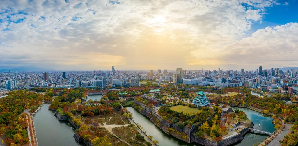
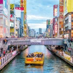
By the Meiji period, Osaka was formally known as the City of Water, with roughly 10 percent of its land still under water today. Its rivers and canals, including the well-known Dotonbori canal, continue to host annual water festivals such as the Tenjin Matsuri boat processions. In recent decades, Osaka has run large waterfront revitalization efforts around what planners call the “Water Corridor,” lighting embankments and bridges and reopening canal-side space neglected for much of the 20th century.
5. Bruges, Belgium
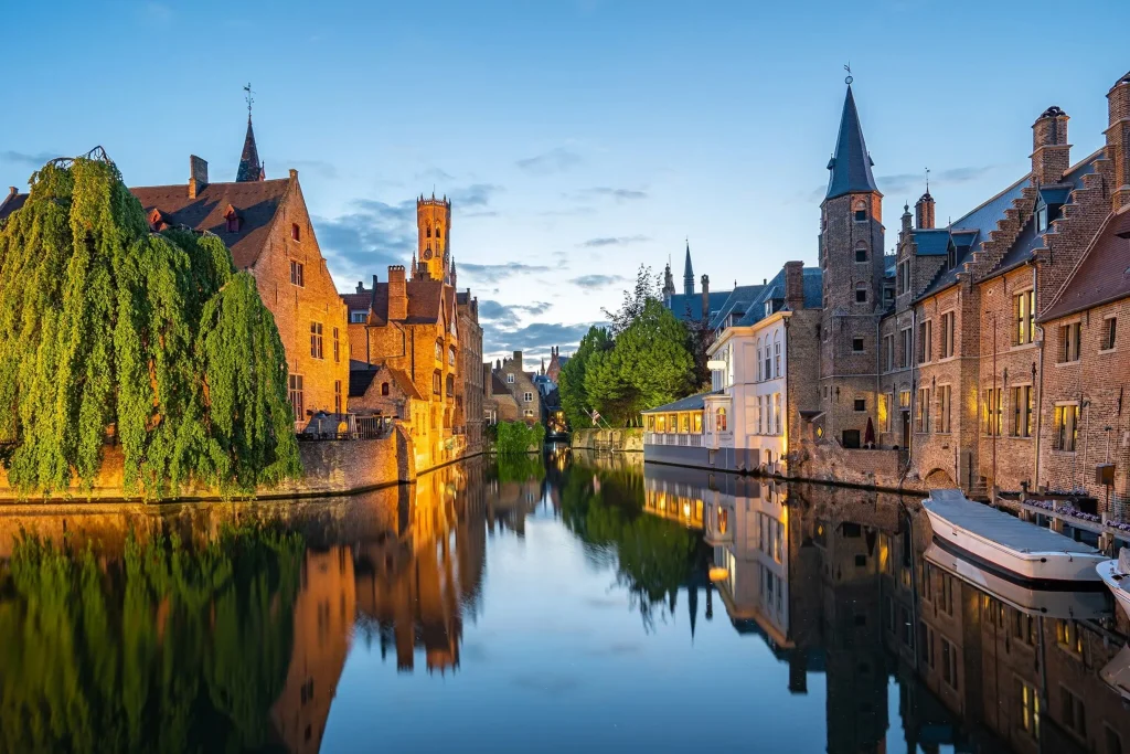
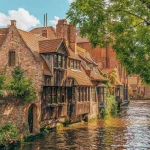
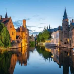
Bruges grew from a small fortified settlement on the River Reie into one of medieval Europe’s most important trading cities, and the turning point was a storm. Bruges received its city charter on July 27, 1128, along with new walls and canals built as inner and outer defenses. Six years later, in 1134, a storm carved open a natural tidal channel called the Zwin, connecting Bruges directly to the North Sea for the first time and positioning it between the Hanseatic ports of the Baltic and the trading houses of Genoa, Venice, and Florence.
By the 13th century, Bruges held a near-monopoly on English wool imports. Ships entering from the Zwin unloaded at secondary harbor towns such as Damme, and goods were transferred to smaller, shallow-draft boats that moved along the Reie canal into the city center. This layered port system, sea channel to harbor town to canal, let Bruges function as an international hub despite sitting inland. The city’s canals are also credited with hosting the Bourse, considered the world’s first stock exchange.
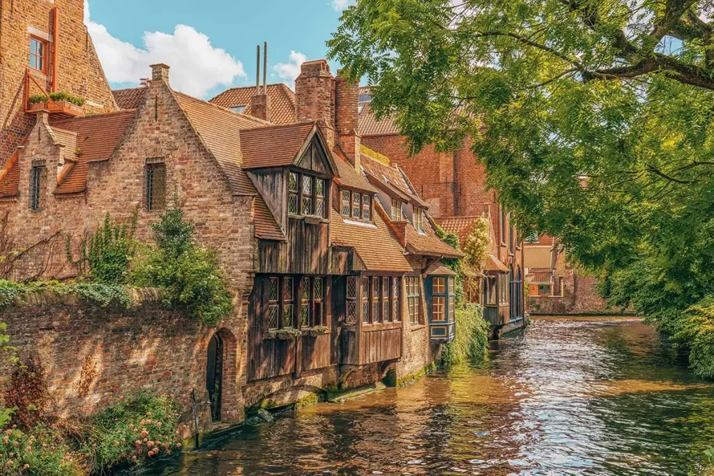
From the late 15th century, the Zwin began silting up, and larger ships could no longer reach the city. Trade shifted to Antwerp, and Bruges entered a long decline. That decline, ironically, is what preserved the medieval city: with no money for redevelopment, Bruges never tore down its old core. The result is one of Europe’s most intact medieval urban layouts, recognized by UNESCO’s World Heritage listing in 2000, with its shallow, sluice-regulated canals now managed for tourism.
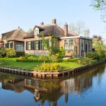
6. Giethoorn, Netherlands
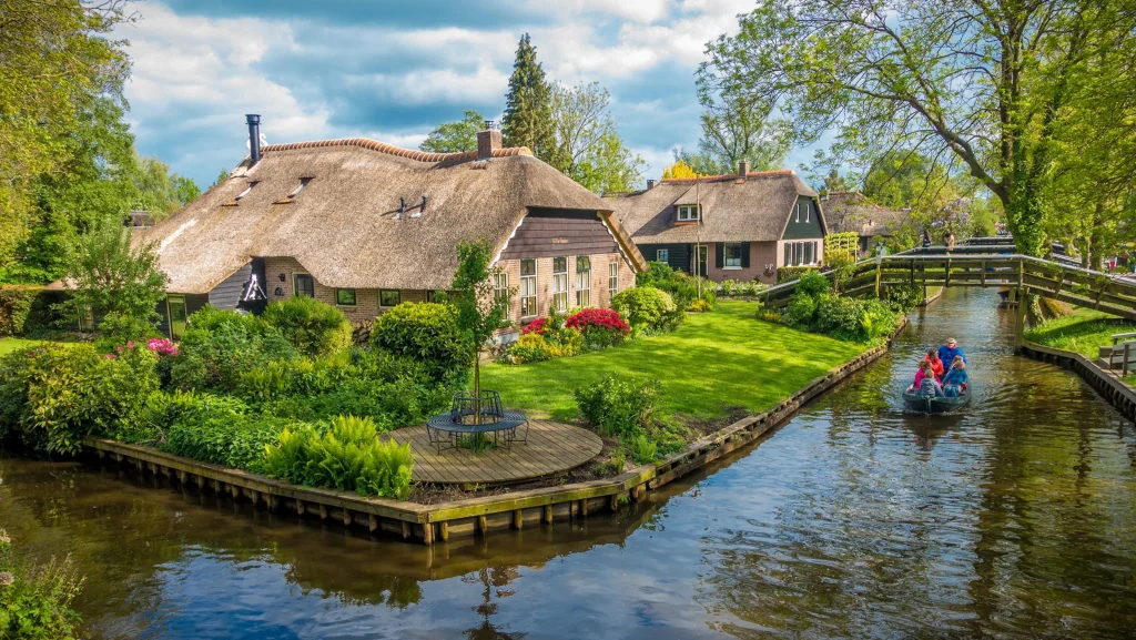
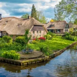
Giethoorn’s canal layout was never designed by a planner. It emerged from centuries of peat extraction. The village was founded around 1230 by a group of Flagellants, religious refugees from the Mediterranean, who settled on peatland in what is now Overijssel province. Beginning around the 16th century, villagers dug into the peat to harvest it for fuel, and the narrow ditches created by that digging gradually widened into the canals that define the village today.
This is what makes Giethoorn’s urban form unusual: it developed entirely bottom-up, without a governing plan. Each excavation created ponds and channels, later connected into a continuous canal system. Major floods in 1776 and 1825 widened the peat cuttings further into open lakes, reshaping the settlement’s edges. Farms and houses ended up built on small islands, separated by canals and reachable only by the wooden footbridges, now more than 170, that became Giethoorn’s signature feature. The central canal, the Dorpsgracht, connects the village’s three original clusters: Noordeinde, Middenbuurt, and Zuideinde.
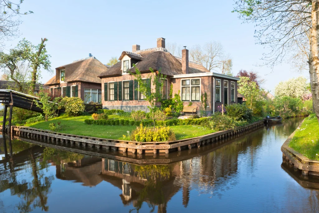
Peat extraction remained the local economy until around 1920, when usable peat ran out, and residents shifted to reed harvesting and farming. Because the canals were never widened into road-scale infrastructure, Giethoorn ended up as one of the few Dutch settlements with no real road network at its center. Boats remain the default way to move through the village, a direct result of urban form that grew out of industrial extraction.
7. Udaipur, India
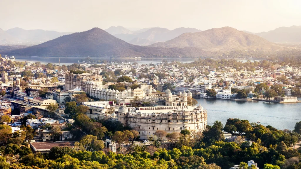
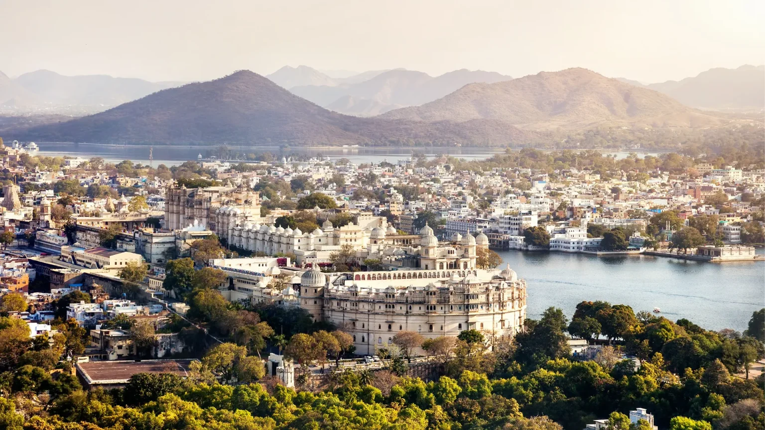
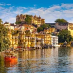
Udaipur’s urban plan is organized around a system of artificial lakes, the first of which, Lake Pichola, was not originally built for the city at all. It was constructed in 1362 CE under Maharana Lakha, created by a local tribesman named Pichhu Banjara mainly to transport grain. The lake’s setting, with the Aravalli hills as a backdrop, later drew Maharana Udai Singh II, who founded Udaipur on its banks in 1559 after relocating the Mewar kingdom’s capital from Chittor.
Udai Singh II expanded Lake Pichola significantly, building a stone masonry dam roughly 15 meters high in the Badipol area to increase capacity and secure a stable water supply. This was a deliberate piece of urban infrastructure: in a state dominated by desert terrain, Udaipur’s founders built water security into the city’s foundation rather than relying on natural sources alone. Construction of the City Palace began in 1553 on the lake’s eastern bank and was expanded by 22 successive generations of Sisodia rulers, each building added directly onto the water’s edge.
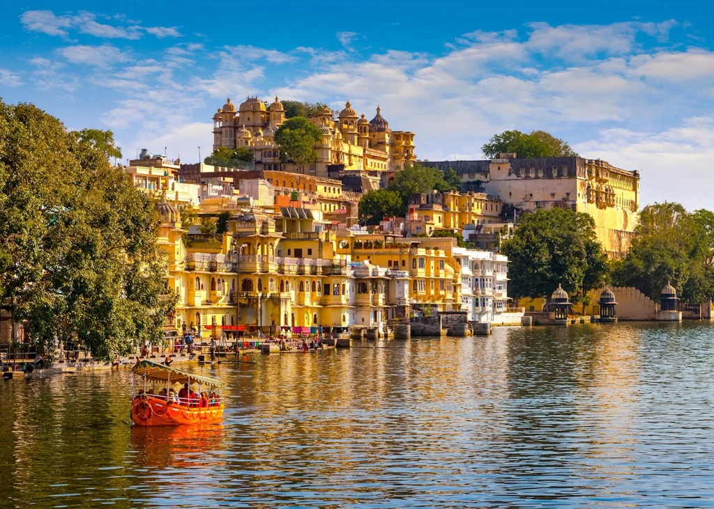
Later Maharanas continued this water-first approach, connecting Pichola to a network of additional lakes through channels, and building island palaces such as Jag Mandir, started under Maharana Karan Singh II and completed by Maharana Jagat Singh I in the mid-17th century. Palaces, temples, ghats, and gardens were positioned around the lakes as both practical water access points and status architecture for Mewar’s nobility, which is why Udaipur is still known as the City of Lakes.
8. Bath, England
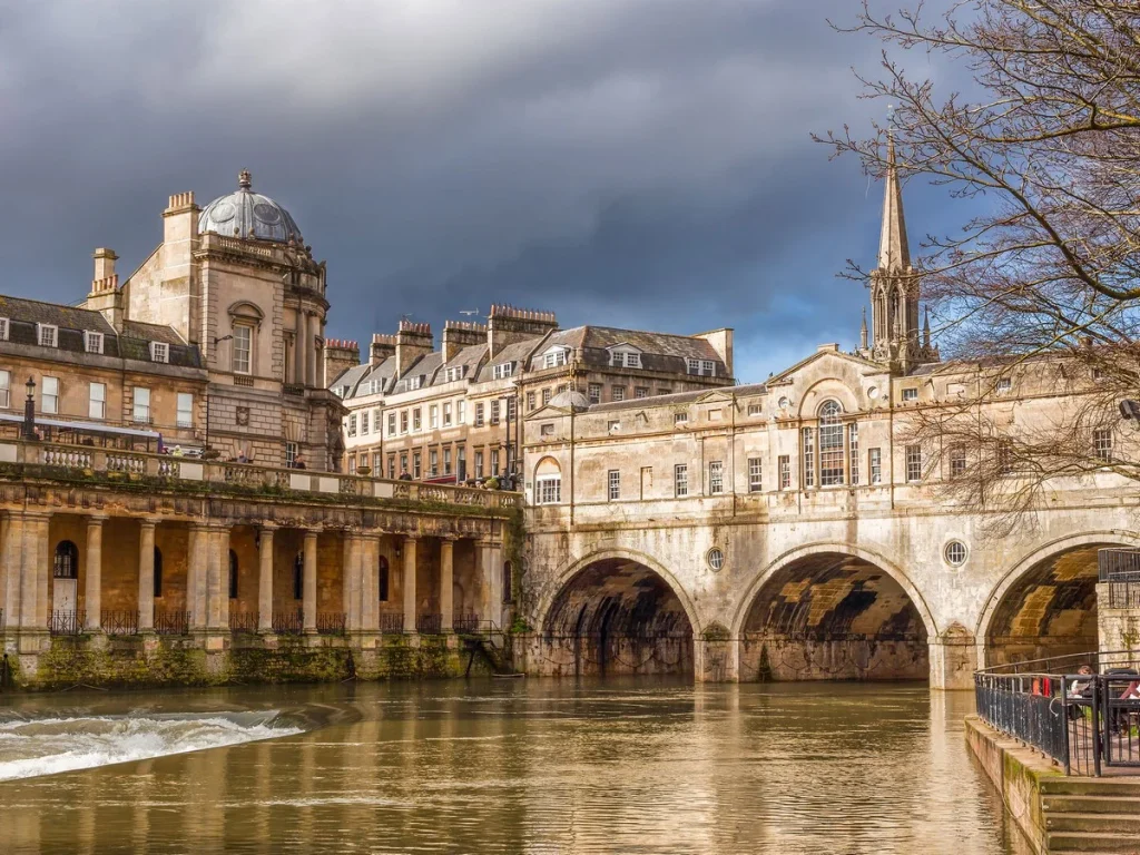
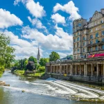
Bath’s urban form developed in two phases separated by more than a thousand years, but both driven by the same geothermal springs. The Romans founded the city as Aquae Sulis around 60 CE, building a temple and bathing complex directly over hot mineral springs that still flow at about 46°C. This Roman infrastructure, dedicated to the goddess Sulis Minerva, established water as the reason the city existed, long before Bath had the architecture it’s known for today.
Bath’s medieval town, chartered in 1189, grew modestly around the wool and cloth trade, with the springs falling into disrepair despite continued royal use. The city’s defining transformation came in the 18th century, when architect John Wood the Elder set out to rebuild Bath in Palladian style, reviving what he saw as its ancient Roman grandeur. Wood, backed by patron Ralph Allen, who supplied stone from his quarries, and social organizer Richard “Beau” Nash, designed terraces and circles that worked with the city’s steep valley. His son, John Wood the Younger, designed and built the Royal Crescent, a curved row of 30 Georgian townhouses, in 1774.
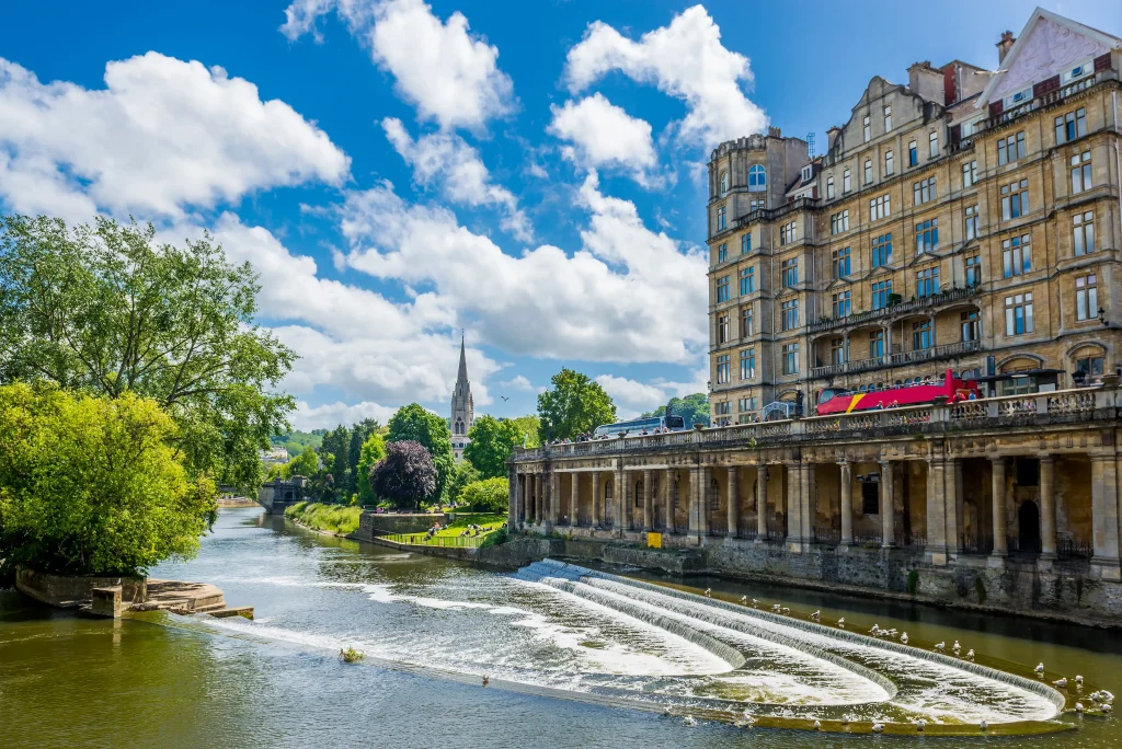
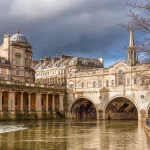
What ties this expansion back to water is that Wood’s original vision went further: a rectangular forum bisected by the River Avon, centered on an octagonal basin where the river would widen into what he called “the Haven of Bath,” flanked by piazzas for commerce. That scheme was never completed, but the surviving Georgian core, laid out around the springs and the Avon, earned Bath UNESCO World Heritage status in 1987.
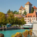
9. Annecy, France
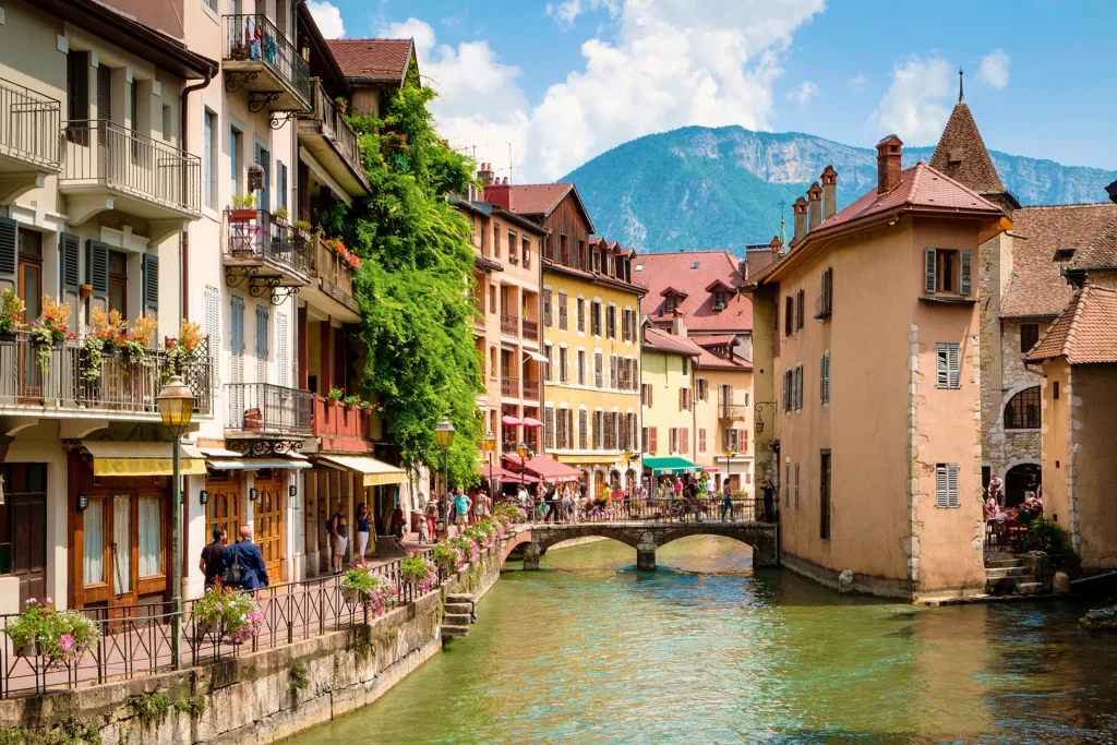
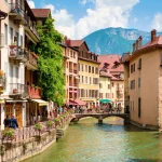
Annecy’s old town grew around the Thiou, one of France’s shortest rivers at roughly 3.5 kilometers, which drains Lake Annecy and splits into a network of canals through the city center. During the Gallo-Roman period, craftsmen from the Allobroges tribe worked along the river at what was then called Boutae, and by the Middle Ages its steady current drove mills that ground flour and powered forges that produced knives and blades.
The city’s urban form solidified in the early 13th century, when the Counts of Geneva relocated their residence to Annecy, making it the administrative capital of the Genevois province. The Château d’Annecy and the Palais de l’Île, a fortified 12th-century house built directly on a rocky island in the Thiou, anchored a town whose houses were built flush against the canal edges, with the river doubling as property boundary and power source. This dense, water-adjacent, defensible layout gave Annecy its nickname, “Venice of the Alps.”
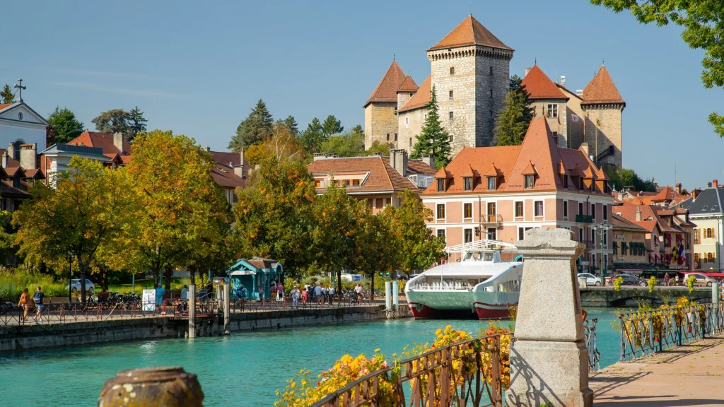
Water shaped Annecy’s economy again in the 19th century, when the Thiou became the engine of local industrialization, powering cotton mills such as the Cense manufactory and several paper mills. After Savoy’s annexation to France in 1860, the city modernized its road network and added administrative buildings like the Prefecture, while the canal-fed old town remained largely intact. Today, the Thiou’s banks function as public promenades, and the old town’s mix of canals, arcaded streets, and lakeside setting is preserved by centuries of water-driven trade and craft.
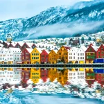
10. Bergen, Norway
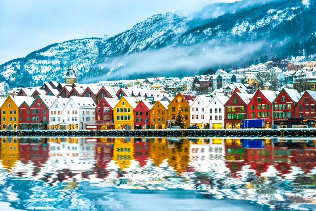
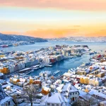
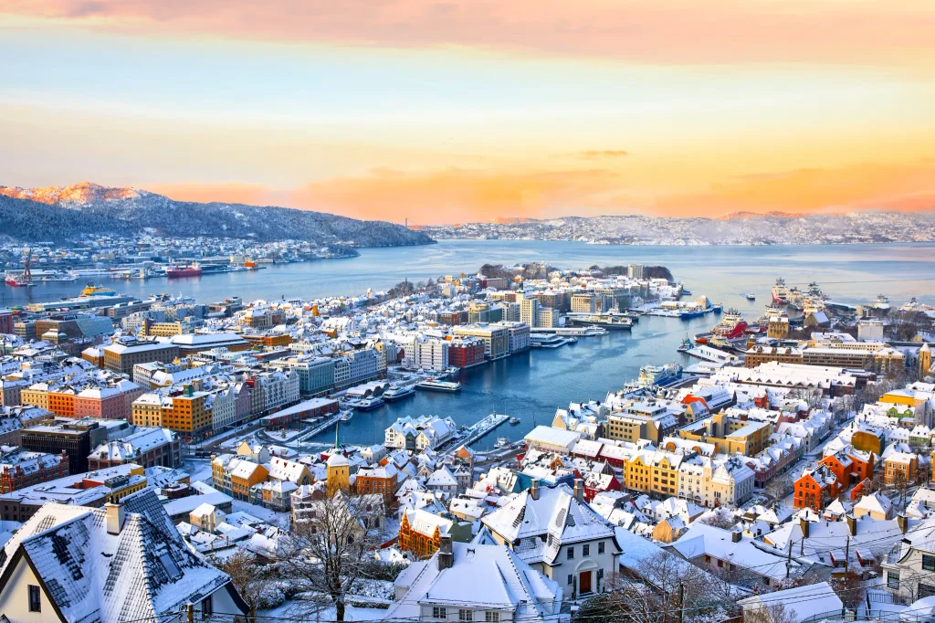
Bergen’s urban plan grew directly out of its function as a fjord port. Founded around 1070 CE on the Vågen harbor, the city became a trading center by the 12th century, with pier construction along the harbor dating to around 1100. Its sheltered inlet, protected from the open sea by surrounding mountains, made it a natural stop for ships moving stockfish south from northern Norway and grain north from continental Europe.
The city’s defining urban feature, Bryggen, took shape after 1350, when the Hanseatic League, a confederation of German merchant guilds, established one of its four overseas trading offices on the harbor’s eastern side. Hanseatic merchants built a compact, repetitive layout: narrow wharf houses facing the water for offices and trade, with long warehouses extending back from the harbor for storage, and separate stone storerooms behind them as fireproof vaults.
This deep, narrow plot structure, driven by the need for waterfront access and large-scale storage, defined Bergen’s fabric for nearly 400 years, during which German merchants controlled the stockfish trade under privileges granted by the Norwegian Crown.
Bryggen’s wooden buildings burned repeatedly, most severely in 1702 and again in 1955, but each rebuild followed the same property lines and layout, preserving the medieval plan rather than replacing it. The district was named a UNESCO World Heritage Site in 1979, one of the only surviving examples of a Hanseatic Kontor and a rare intact record of medieval Northern European urbanism. Bergen’s harbor still anchors the city’s layout today, with Bryggen’s original wharf-and-warehouse plan forming the historic core the modern city has grown around.
Designers and urban thinkers worldwide are returning to water as a design constraint that current cities can no longer avoid. Rising sea levels and flood-prone deltas have pushed architects toward amphibious housing, floating neighborhoods, and buoyant infrastructure that rises and falls with water. The old water cities in this list managed rivers, tides, and lakes as core infrastructure for centuries. That same logic- water as a structural partner rather than a threat- is what current floating-city proposals are trying to rebuild.